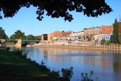
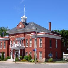
Chatham-Kent, Municipal center in Southwestern Ontario, Canada
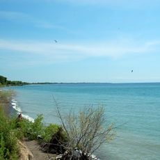
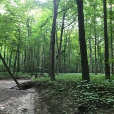
Chatham-Kent is a single-tier municipality in southwestern Ontario that combines several smaller towns and rural areas between two large lakes. The territory covers flat farmland and small settlements linked by country roads.
The current municipality formed in 1998 when the city of Chatham merged with several surrounding towns and townships into one administrative unit. In earlier centuries, the region served as a destination for people who crossed the lake from the United States seeking refuge.
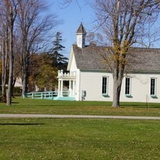
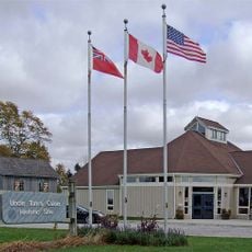
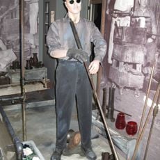
This area served as the northern terminus of the Underground Railroad, and visitors can still see buildings where families who escaped slavery settled and built new lives. Small museums and heritage sites along country roads preserve the memory of those who arrived seeking freedom.
Visitors can reach the communities by local bus service that runs between the larger centers, or by car along the country roads. The area is spread out, so having your own vehicle helps if you want to visit smaller settlements and heritage sites.
Eleven memorial sites along the Tecumseh Parkway mark battlefields and meeting places from the War of 1812 when British and Indigenous troops fought against American forces. The route connects spots in the area where skirmishes and larger battles took place.
Location: Ontario
Inception: January 1, 1998
Elevation above the sea: 184 m
Shares border with: Essex County
Website: https://chatham-kent.ca/Pages/default.aspx
GPS coordinates: 42.40000,-82.18333
Latest update: December 13, 2025 16:41
Wheatley
41.1 km
Rondeau Provincial Park
26.8 km
Algonac State Park
39 km
Wheatley Provincial Park
40.8 km
Buxton National Historic Site and Museum
10.9 km
Uncle Tom's Cabin Historic Site
20.6 kmSt. Clair National Wildlife Area
18.4 km
Wallaceburg and District Museum
25.4 km
LeRoy Smith House
38.2 km
Church of the Annunciation
31.8 kmBig Bend Conservation Area
47.6 kmTremblay Beach Conservation Area
29.2 kmRondeau Wilderness Area
30 km
St. Joseph's Church
478 mKent County Courthouse and Jail
1.1 kmDresden Creamery Building
21.3 km
Thamesville Town Hall
23.8 kmChurch of Christ Disciples
24.5 km
Bothwell Town Hall
36.3 kmPresbyterian Church
24.9 kmClear Creek Forest Provincial Park
38.6 kmSherman Cemetery
23.8 kmHoward Township Hall
24.9 kmDuart Hall
37 kmSt. Michael's Church
24.4 kmBothwell Cemetery
34.1 kmHighgate United Church
32 kmGreen-Cameron Property
32.6 kmVisited this place? Tap the stars to rate it and share your experience / photos with the community! Try now! You can cancel it anytime.
Discover hidden gems everywhere you go!
From secret cafés to breathtaking viewpoints, skip the crowded tourist spots and find places that match your style. Our app makes it easy with voice search, smart filtering, route optimization, and insider tips from travelers worldwide. Download now for the complete mobile experience.
A unique approach to discovering new places❞
— Le Figaro
All the places worth exploring❞
— France Info
A tailor-made excursion in just a few clicks❞
— 20 Minutes