Cabot Trail, Scenic highway in Nova Scotia, Canada
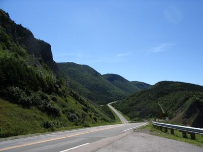
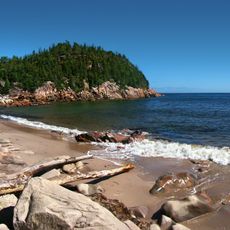
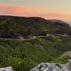
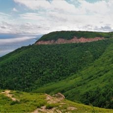
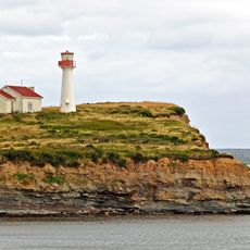
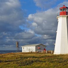
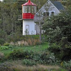
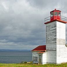
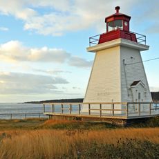
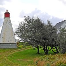
The Cabot Trail is a highway that winds 298 kilometers through Cape Breton Island, connecting coastal cliffs, mountains, and fishing villages along the Atlantic Ocean. The route passes through varied landscapes and small settlements distributed across the island.
Construction of the road began in the 1930s and was named after explorer John Cabot, who reached North American shores in 1497. This naming connects the modern development of the region to an important moment in European exploration of North America.
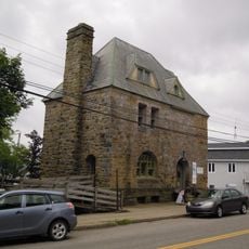
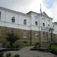
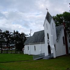
The communities along the route maintain Scottish, Acadian, and Indigenous traditions through local arts, music, and regional food specialties. This cultural blend shapes daily life in the villages and shows in how people gather and celebrate together.
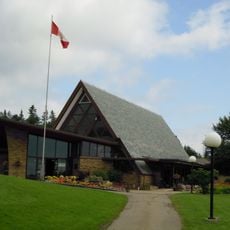
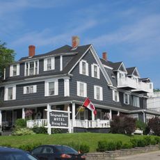
Allow at least three days to explore this route properly, as there is much to see and the drive should not be rushed. Accommodations range from camping sites to hotels in towns along the way, so you can arrange your stay based on your preferences.
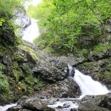
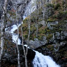
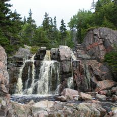
The route passes through Cape Breton Highlands National Park, where you can see geological formations representing all three major rock types. This rare combination makes the park an interesting place for anyone curious about how the landscape is built.
The community of curious travelers
AroundUs brings together thousands of curated places, local tips, and hidden gems, enriched daily by 60,000 contributors worldwide.