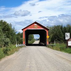
Amos, Administrative center in Abitibi, Canada
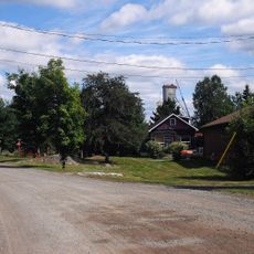
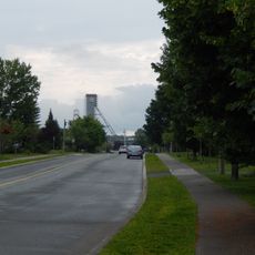
Amos sits at the intersection of the Transcontinental Railway and the Harricana River, serving as the main administrative hub for the Abitibi region in northwestern Quebec. The city stands at 310 meters elevation and provides core municipal services and facilities.
The town emerged in 1914 and took its name from Alice Amos, wife of Quebec Premier Sir Lomer Gouin. It received city status in 1925, marking the opening of the railway corridor through the region.
The Centre d'exposition presents rotating art exhibitions, while the Théâtre des Eskers offers performances year-round for the local French-speaking community.
The city provides all basic services visitors and residents need, including libraries, sports facilities, and public transportation. It is easy to navigate this manageable center and access what you are looking for.
The name comes from an Algonquin term meaning 'place where bark dishes are obtained for cooking.' This reflects the region's deep connection to indigenous peoples and their ancient craft traditions.
Location: Abitibi
Inception: January 3, 1914
Elevation above the sea: 310 m
Shares border with: Saint-Dominique-du-Rosaire, Saint-Mathieu-d'Harricana
Website: http://amos.quebec
GPS coordinates: 48.56667,-78.11667
Latest update: December 7, 2025 19:32
Aréna Glencore
75.6 km
Centre Agnico Eagle
56.9 km
Le Petit Théâtre du Vieux Noranda
75.4 km
Aiguebelle National Park
46.3 km
Cathedral of St Teresa of Avila
714 m
Cité de l'Or
58.7 km
Rouyn-Noranda Synagogue
75.7 km
Former Lamaque Mine
58.7 km
Val-Senneville
54.5 km
Bourlamaque
58 km
Réserve de biodiversité des Lacs-Vaudray-et-Joannès
64.9 km
Pont de l'Arche de Noé
48 km
Pont Champagne
41.7 km
Pont Molesworth
67.6 km
Pont des Chutes
51.8 km
Maison Hector-Authier
529 m
Pont de l'Orignal
44.1 km
Pont Alphonse-Normandin
19 km
Pont Émery-Sicard
11.8 km
Pont Levasseur
64.2 km
Église Saint-Sauveur (Val-d'Or)
57.5 km
Évêché d'Amos
1.5 km
Ancien palais de justice d'Amos
854 m
Ruisseau Tourville
48 km
The Former Lamaque Mine and the Bourlamaque Mining Village
58.6 km
Dubuisson
51.9 km
Château d'eau de l'ancienne mine Sullivan
53 km
Site patrimonial de la Maison-Hector-Authier
529 mVisited this place? Tap the stars to rate it and share your experience / photos with the community! Try now! You can cancel it anytime.
Discover hidden gems everywhere you go!
From secret cafés to breathtaking viewpoints, skip the crowded tourist spots and find places that match your style. Our app makes it easy with voice search, smart filtering, route optimization, and insider tips from travelers worldwide. Download now for the complete mobile experience.
A unique approach to discovering new places❞
— Le Figaro
All the places worth exploring❞
— France Info
A tailor-made excursion in just a few clicks❞
— 20 Minutes