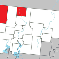
Abitibi, Regional county municipality in Abitibi-Témiscamingue, Canada.
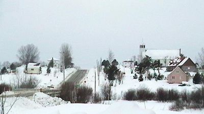
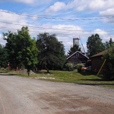
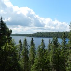
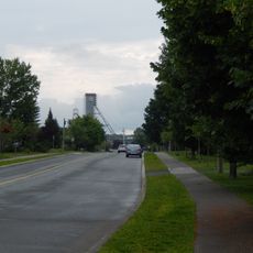
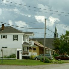
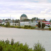
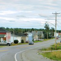
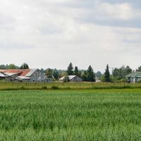
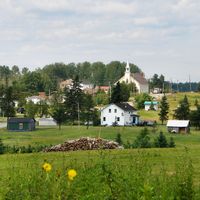
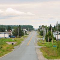
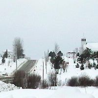
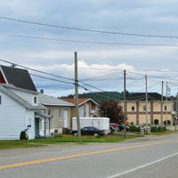
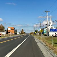
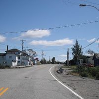
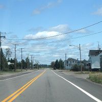
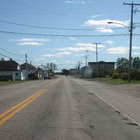
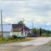
Abitibi is a regional county municipality spread across mixed and boreal forest lands in western Quebec, dotted with numerous lakes and small communities. Amos serves as the administrative center and main hub where residents access key services and goods.
The territory became part of Quebec province in 1898 and gained status as a regional county municipality in 1983. This administrative shift reshaped how the region's communities were organized and governed.
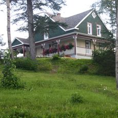
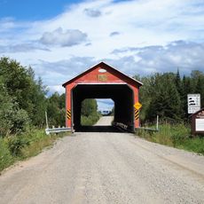
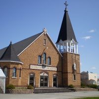
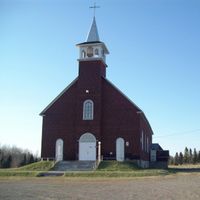
Indigenous Algonquin communities and French-Canadian settlers shaped the way people here live and work, with their traditions still visible in how residents interact with the land.
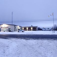
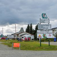
The region is spread out and sparsely populated, so plan ahead to know which communities you want to visit and where services are located. Staying in Amos gives you the best base for exploring the surrounding villages and outdoor areas.
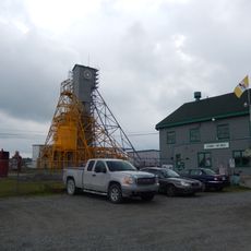
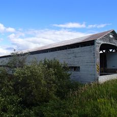
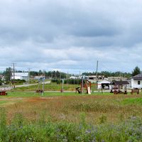
The region sits atop the Abitibi gold belt, a mineral-rich formation that has fueled mining operations since early settlement. You can still see evidence of this mining heritage in the landscape and local economies today.
Location: Abitibi-Témiscamingue
Inception: January 1, 1983
Capital city: Amos
Shares border with: Jamésie, La Vallée-de-l'Or, Rouyn-Noranda, Abitibi-Ouest
Website: http://mrcabitibi.qc.ca
GPS coordinates: 48.56670,-78.00000
Latest update: December 7, 2025 20:46
Aréna Glencore
83.3 km
Centre Agnico Eagle
53.8 km
Le Petit Théâtre du Vieux Noranda
83.1 km
Aiguebelle National Park
54.8 km
Cathedral of St Teresa of Avila
8.7 km
Cité de l'Or
55.4 km
Rouyn-Noranda Synagogue
83.4 km
Former Lamaque Mine
55.4 km
Val-Senneville
49.6 km
Bourlamaque
54.7 km
Réserve de biodiversité des Lacs-Vaudray-et-Joannès
70.9 km
Pont de l'Arche de Noé
39.6 km
Pont Champagne
39.6 km
Pont Molesworth
75.9 km
Pont des Chutes
43.6 km
Maison Hector-Authier
8.9 km
Pont de l'Orignal
36.2 km
Pont Alphonse-Normandin
22.2 km
Pont Émery-Sicard
8.5 km
Pont Levasseur
71.9 km
Église Saint-Sauveur (Val-d'Or)
54.3 km
Évêché d'Amos
8.7 km
Ancien palais de justice d'Amos
8.4 km
Ruisseau Tourville
39.8 km
The Former Lamaque Mine and the Bourlamaque Mining Village
55.3 km
Dubuisson
50.5 km
Château d'eau de l'ancienne mine Sullivan
50.3 km
Site patrimonial de la Maison-Hector-Authier
8.9 kmVisited this place? Tap the stars to rate it and share your experience / photos with the community! Try now! You can cancel it anytime.
Discover hidden gems everywhere you go!
From secret cafés to breathtaking viewpoints, skip the crowded tourist spots and find places that match your style. Our app makes it easy with voice search, smart filtering, route optimization, and insider tips from travelers worldwide. Download now for the complete mobile experience.
A unique approach to discovering new places❞
— Le Figaro
All the places worth exploring❞
— France Info
A tailor-made excursion in just a few clicks❞
— 20 Minutes