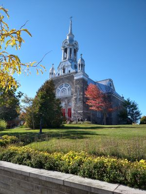
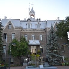
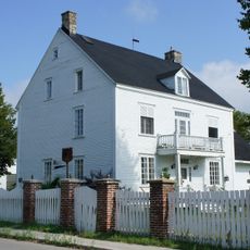
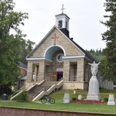
Saint-Sauveur, Mountain resort town in Laurentian Mountains, Quebec, Canada
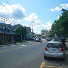
Saint-Sauveur is a mountain town in the Laurentian Mountains, located about 60 kilometers north of Montreal, with multiple ski slopes and recreational areas. The place spreads across foothills and valleys, offering different activities for visitors throughout the year.
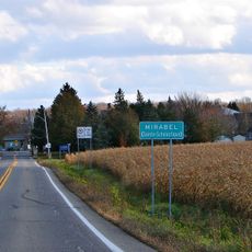
The area came together in 2002 through a merger of two communities, with roots in the mountain region going back to the 1800s. This joining created a larger administrative center for the whole mountain area.
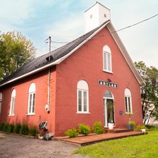
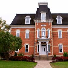
The town blends French and English traditions in its daily life, with architecture and local businesses reflecting this mixed heritage. You'll see bilingual signs everywhere and meet people from different backgrounds who give the place a multicultural character.
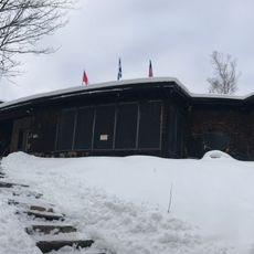
The main ski area offers extensive facilities with modern snow-making systems for daytime and evening skiing. Visitors should know that conditions vary greatly depending on the season and weather.
Six different ski resorts work together under one alliance and share the region's infrastructure. This partnership makes the area one of the largest winter sports centers in the province with a unified lift pass system.
Location: Les Pays-d'en-Haut
Inception: September 11, 2002
Shares border with: Sainte-Adèle, Mille-Isles
Address: Saint-Sauveur, QC J0R, Canada
Website: https://vss.ca
GPS coordinates: 45.90000,-74.16667
Latest update: December 7, 2025 19:30
Le Studio
8.4 km
Sommet Saint-Sauveur
2 km
La Plaine
33.3 km
Cathedral of Saint-Jérôme
18.6 km
Laurentides Museum of Contemporary Art
18.5 km
Domaine de Belle-Rivière
31 km
Laurentian Ski Museum
763 m
Atelier de l'île
14.8 km
Bureau d'enregistrement de Sainte-Julienne
35.6 km
Sir Wilfrid Laurier National Historic Site
32.1 km
Cimetière de Sainte-Anne-des-Plaines
31.3 km
Église de Sainte-Agathe-des-Monts
18.6 km
Église Sainte-Anne-des-Plaines
31.4 km
Chapelle du cimetière de Saint-Jérôme
17.4 km
Église de Saint-Calixte
25.3 km
Espace ArtLab
23.9 km
Wilfrid Laurier House
32.1 km
Sainte-Monique
29.3 km
Ancien bureau de poste de Sainte-Agathe-des-Monts
19 km
Édifice centenaire de la municipalité régionale de comté d'Argenteuil
30.4 km
Ancien couvent de Sainte-Anne-des-Plaines
31.4 km
Venues used by Festival des Arts de Saint-Sauveur
878 m
Maison Jean-Joseph-Girouard
37.2 km
Église Saint-Norbert
12 km
Site du patrimoine de Saint-Sauveur-des-Monts
910 m
Sainte-Scholastique
28.1 km
Grange-écurie des Prêtres-Chaumont
31.4 km
Presbytère de Sainte-Agathe-des-Monts
18.8 kmVisited this place? Tap the stars to rate it and share your experience / photos with the community! Try now! You can cancel it anytime.
Discover hidden gems everywhere you go!
From secret cafés to breathtaking viewpoints, skip the crowded tourist spots and find places that match your style. Our app makes it easy with voice search, smart filtering, route optimization, and insider tips from travelers worldwide. Download now for the complete mobile experience.
A unique approach to discovering new places❞
— Le Figaro
All the places worth exploring❞
— France Info
A tailor-made excursion in just a few clicks❞
— 20 Minutes