
Whapmagoostui, Cree village municipality in Quebec, Canada
Location: Eeyou Istchee
Inception: 1978
Website: http://www.whapmagoostuifn.ca/
Shares border with: Kuujjuarapik, Baie-d'Hudson
Website: http://whapmagoostuifn.ca
GPS coordinates: 55.25000,-77.75000
Latest update: May 29, 2025 15:42

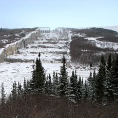
James Bay Project
165 km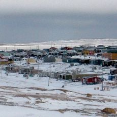
Sanikiluaq
170.8 km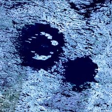
Wiyâshâkimî Lake
229.2 km
Hammer of Thor
684.8 km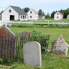
Moose Factory Island
482.7 km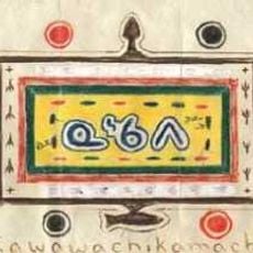
Kawawachikamach
701.2 km
Robert-Bourassa Reservoir
173.9 km
Tursujuq National Park
143.9 km
Tidewater Provincial Park
483.3 km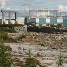
Laforge-2 generating station
420.2 km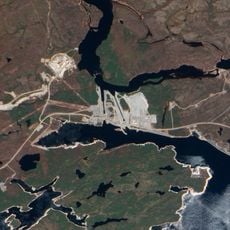
Aménagement de l'Eastmain-1
359.4 km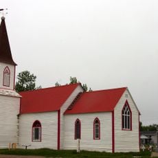
St. Thomas' Anglican Church
484.1 km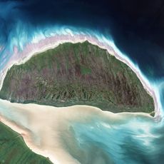
Akimiski Island Migratory Bird Sanctuary
336.3 km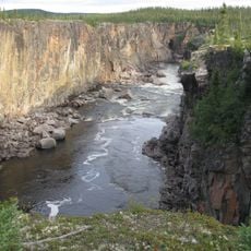
Canyon Eaton
603.8 km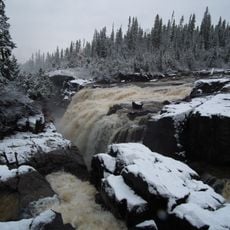
Little Abitibi Provincial Park
669 km
Lake Nemiscau
430.9 km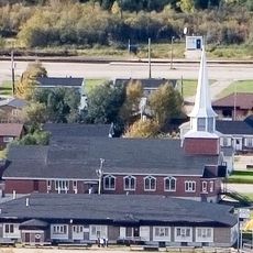
Basilica of Christ the King
482.7 km
Colonne de la liberté
298.2 km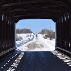
Pont Maurice-Duplessis
695 km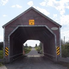
Pont des Pionniers
689.3 km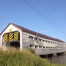
Pont des Souvenirs
698.3 km
Obalski Regional Park
638.7 km
Fort Saint-Louis
487.9 km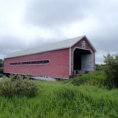
Pont du Petit-Quatre
714.1 km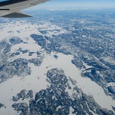
Réservoir Laforge 1
373.5 km
Taschereau bridge
688.8 km
Greenwater Provincial Park
713.4 km
Eastmain Bridge
329 kmReviews
Visited this place? Tap the stars to rate it and share your experience / photos with the community! Try now! You can cancel it anytime.
Discover hidden gems everywhere you go!
From secret cafés to breathtaking viewpoints, skip the crowded tourist spots and find places that match your style. Our app makes it easy with voice search, smart filtering, route optimization, and insider tips from travelers worldwide. Download now for the complete mobile experience.

A unique approach to discovering new places❞
— Le Figaro
All the places worth exploring❞
— France Info
A tailor-made excursion in just a few clicks❞
— 20 Minutes