
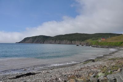
Branch, town in Newfoundland and Labrador
Location: Newfoundland and Labrador
GPS coordinates: 46.88333,-53.96667
Latest update: March 3, 2025 16:31
Mistaken Point Ecological Reserve
65.5 km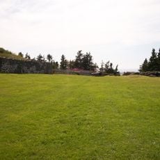
Castle Hill
40.9 km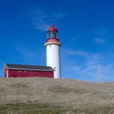
Cape Race Lighthouse
72.5 km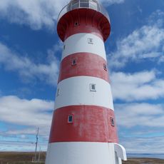
Cape Pine Light
44.5 km
Fort Royal
40.9 km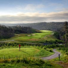
The Wilds at Salmonier River Golf Club
61.1 km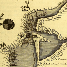
Fort Saint Louis
41 km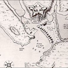
Fort Plaisance
41 km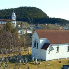
St. Luke's Cultural Heritage Centre
40.4 km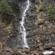
Cataracts Provincial Park
47.4 km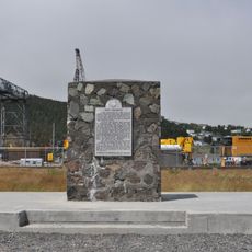
Fort Frederick
40.7 km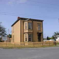
O’Reilly House
40.4 km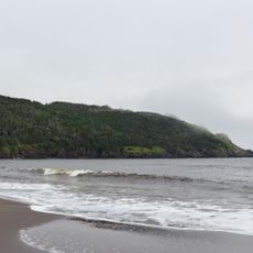
Gooseberry Cove Provincial Park
22.5 km
Fitzgerald's Pond Provincial Park Reserve
53.1 km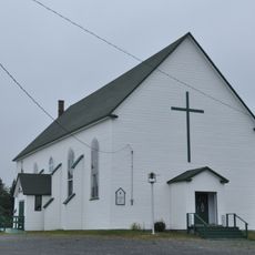
St. Charles Borromeo Church and Grounds
77.3 km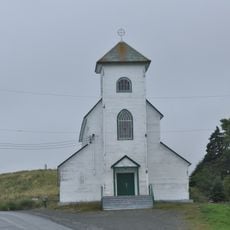
Holy Apostles Roman Catholic Church
78.7 km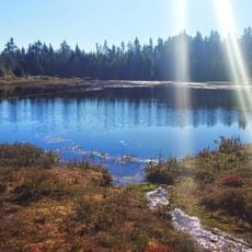
Salmonier Nature Park
68 km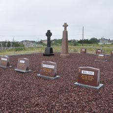
Presentation Cemetery
78.7 km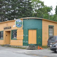
R.J. O’Brien’s General Store
80.8 km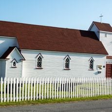
St. Luke’s Anglican Church
40.4 km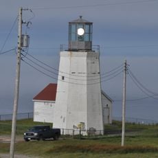
Cape St. Mary's light
18.7 km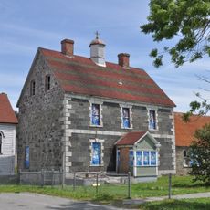
Our Lady of Angels Presentation Convent
40.1 km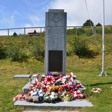
War Memorial
779 m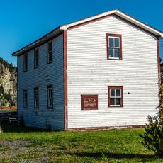
Wakeham Sawmill
40.3 km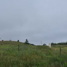
Old Cemetery
78.9 km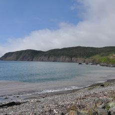
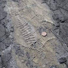
Branch Cove Fossiliferous Rocks
1.9 km
Anglo American Telegraph Company Cable Office
40.5 km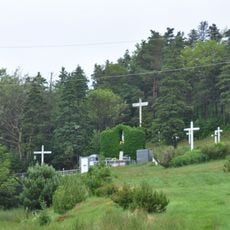
Presentation Convent Grounds
78.8 kmVisited this place? Tap the stars to rate it and share your experience / photos with the community! Try now! You can cancel it anytime.
Discover hidden gems everywhere you go!
From secret cafés to breathtaking viewpoints, skip the crowded tourist spots and find places that match your style. Our app makes it easy with voice search, smart filtering, route optimization, and insider tips from travelers worldwide. Download now for the complete mobile experience.

A unique approach to discovering new places❞
— Le Figaro
All the places worth exploring❞
— France Info
A tailor-made excursion in just a few clicks❞
— 20 Minutes