
Coleman, township municipality in Timiskaming District, Ontario, Canada
Location: Timiskaming District
Shares border with: Temiskaming Shores, Latchford, Cobalt
Website: http://colemantownship.ca
GPS coordinates: 47.36750,-79.75944
Latest update: April 6, 2025 08:52

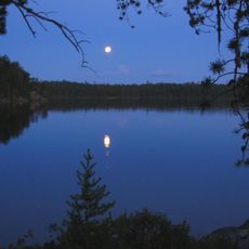
Lady Evelyn-Smoothwater Provincial Park
56.7 km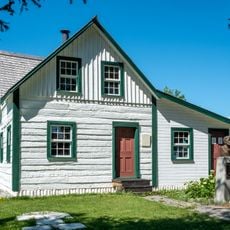
Maison du Frère-Moffet
24.2 km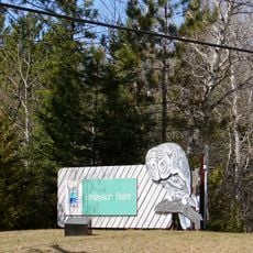
Finlayson Point Provincial Park
34.9 km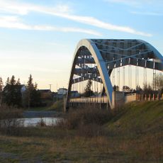
Sgt. Aubrey Cosens VC Memorial Bridge
6.3 km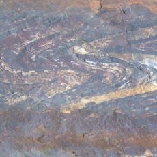
Northeast Arm Iron Range
35.2 km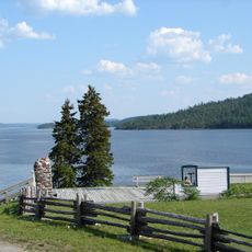
Fort Témiscamingue
24.1 km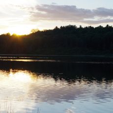
Marten River Provincial Park
71.8 km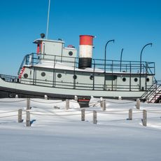
T.-E.-Draper
44.5 km
Sturgeon River Provincial Park
69.2 km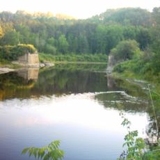
Kap-Kig-Iwan Provincial Park
48.7 km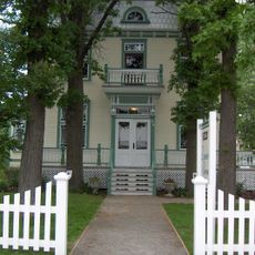
Domaine Breen
26.5 km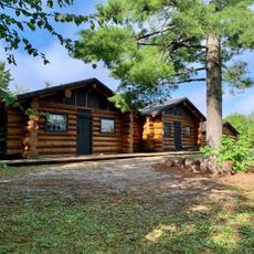
Chantier Gédéon
44 km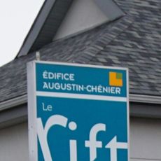
Le Rift
24.5 km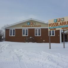
Fossilarium de Notre-Dame-du-Nord
32.5 km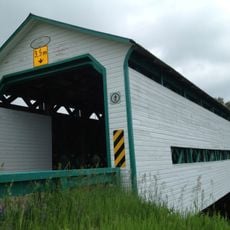
Pont Landry
53.8 km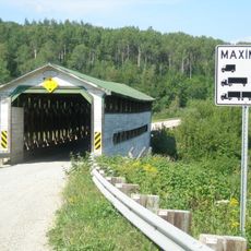
Pont Dénommée
29.6 km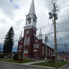
Église Saint-Joseph-de-Notre-Dame-du-Nord
32.4 km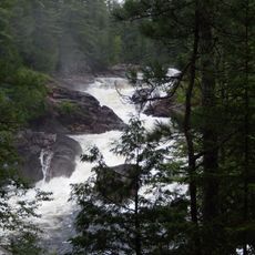
La Grande Chute
45.2 km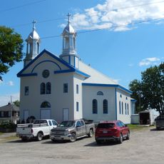
Church of Our Lady of Mount Carmel
42.3 km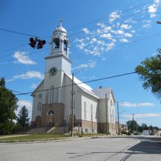
Église Notre-Dame-de-Lourdes
30.9 km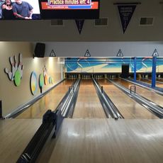
Tri-Town Bowling Lanes
13.2 km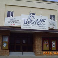
Classic Theatre Cobalt
6.4 km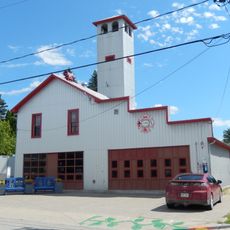
Caserne de pompiers de Lorrainville
30.9 km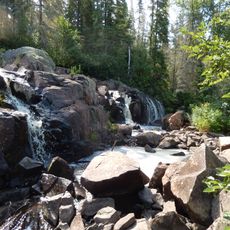
Chute à Ovide
57.4 km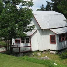
Moulin à aubes
60.1 km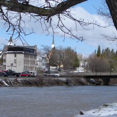
Wabi Creek
17.2 km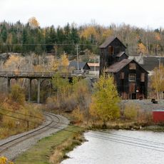
Cobalt Mining District
7.2 km
École centrale d'Angliers
44 kmReviews
Visited this place? Tap the stars to rate it and share your experience / photos with the community! Try now! You can cancel it anytime.
Discover hidden gems everywhere you go!
From secret cafés to breathtaking viewpoints, skip the crowded tourist spots and find places that match your style. Our app makes it easy with voice search, smart filtering, route optimization, and insider tips from travelers worldwide. Download now for the complete mobile experience.

A unique approach to discovering new places❞
— Le Figaro
All the places worth exploring❞
— France Info
A tailor-made excursion in just a few clicks❞
— 20 Minutes