Porcupine Hills, Hill group in Manitoba, Canada
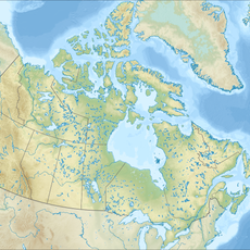
Porcupine Hills is a group of hills in northwestern Manitoba where forested slopes and open pasture alternate across a gently rolling landscape. The group sits within the Manitoba Escarpment, forming a natural transition between the boreal forest to the north and the grasslands to the south.
These hills took shape at the end of the last ice age, when retreating glaciers left behind the shoreline of glacial Lake Agassiz, now marked by the Manitoba Escarpment. The present terrain reflects thousands of years of post-glacial change, as forests gradually replaced the open ground left by the ice.
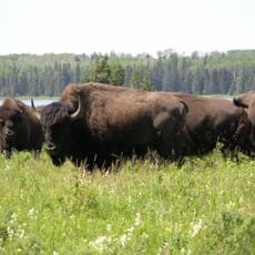
The name Porcupine Hills refers to the porcupine, an animal native to this region whose spiny outline is said to echo the jagged ridgeline of the hills. Visitors who walk through the area today move between open meadows and stretches of boreal forest, with little sign of urban development nearby.
The hills are far from urban centers and require a personal vehicle to reach, as public transport options in this part of Manitoba are limited. Those planning to explore the higher terrain should wear sturdy footwear and be ready for weather that can shift quickly, especially in spring and fall.
Hart Mountain, the highest point within the group, ranks as the second-highest summit in all of Manitoba, yet very few visitors know it exists. Standing at the top, you look out over a high plateau that feels out of place in a province known for flat land.
The community of curious travelers
AroundUs brings together thousands of curated places, local tips, and hidden gems, enriched daily by 60,000 contributors worldwide.