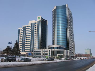
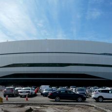
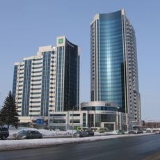
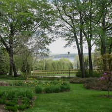
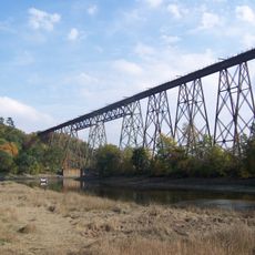
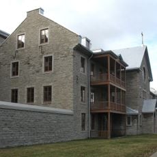
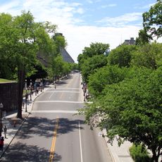
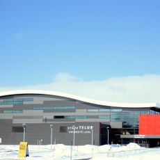
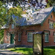
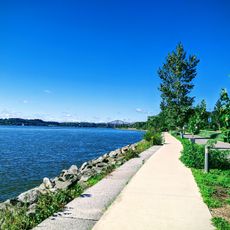
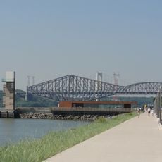
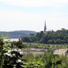
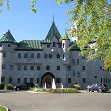
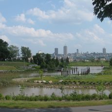
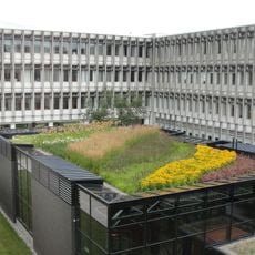
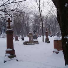
Sainte-Foy–Sillery–Cap-Rouge, borough of Quebec City
Location: Quebec City
Inception: November 1, 2009
Shares border with: La Cité-Limoilou, Vieux-Québec–Cap-Blanc–colline Parlementaire, Montcalm, Saint-Sacrement, Duberger–Les Saules, Les Rivières
Website: https://ville.quebec.qc.ca/citoyens/arrondissements/saintefoysillerycaprouge
GPS coordinates: 46.76667,-71.30833
Latest update: March 14, 2025 19:50
Quebec Bridge
2.8 km
Videotron Centre
8.3 km
Pont Pierre-Laporte
2.8 km
Aquarium du Québec
2.1 km
Collège Stanislas
4.6 km
Stade Canac
8.1 km
Complexe Jules Dallaire
3.2 km
Salle Albert-Rousseau
2.7 km
Bois-de-Coulonge Park
5.8 km
Cap-Rouge trestle
3.7 km
Hôpital-Général de Québec
7.8 km
Grande Allée
7.3 km
Telus Stadium
2.9 km
Mount Hermon Cemetery
4.9 km
Promenade Samuel-De Champlain
3.7 km
Parc des Braves
6.4 km
Promenade Samuel De-Champlain
3.1 km
Impérial Bell
8.1 km
Sillery Heritage Site
4.9 km
Maison Gomin
4.3 km
Campus Notre-Dame-de-Foy
7.7 km
Pavillon Louis-Jacques-Casault
3.3 km
ExpoCité
8.3 km
Pavillon de la Jeunesse
8.2 km
Domaine Cataraqui
4.3 km
Cartier-Brébeuf National Historic Site
8.4 km
Pavillon Charles-De Koninck
3 km
Notre Dame De Belmont Cemetery
3.7 kmReviews
Visited this place? Tap the stars to rate it and share your experience / photos with the community! Try now! You can cancel it anytime.
Discover hidden gems everywhere you go!
From secret cafés to breathtaking viewpoints, skip the crowded tourist spots and find places that match your style. Our app makes it easy with voice search, smart filtering, route optimization, and insider tips from travelers worldwide. Download now for the complete mobile experience.
A unique approach to discovering new places❞
— Le Figaro
All the places worth exploring❞
— France Info
A tailor-made excursion in just a few clicks❞
— 20 Minutes