
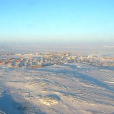
Berry Rapids, rapids in Manitoba, Canada
Location: Manitoba
Elevation above the sea: 246 m
GPS coordinates: 59.59653,-97.16049
Latest update: March 13, 2025 10:39
Rankin Inlet
448.3 km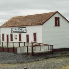
Baker Lake
529.1 km
Four Corners
275 km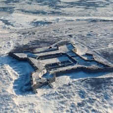
Prince of Wales Fort
190.1 km
Wapusk National Park
298.6 km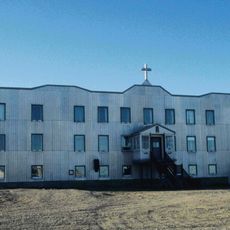
Chesterfield Inlet
539.4 km
Whale Cove
379.1 km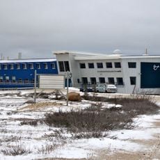
Churchill Rocket Research Range
213.5 km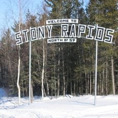
Stony Rapids
492.5 km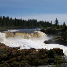
Pisew Falls Provincial Park
495.2 km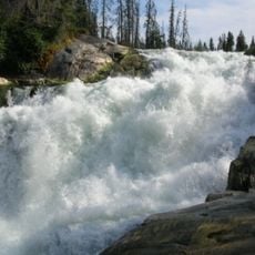
Nistowiak Falls
635.3 km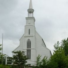
Holy Trinity Anglican Church
640.9 km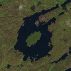
Gow crater
554.7 km
Thelon Wildlife Sanctuary
637.8 km
Lac La Ronge Provincial Park
656 km
Itsanitaq Museum
193.9 km
Caribou River Provincial Park
28.4 km
Clearwater Lake Provincial Park
658.2 km
Kichi Sipi Bridge
565 km
Kwasitchewan Falls
486.9 km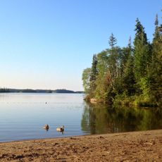
Bakers Narrows Provincial Park
612 km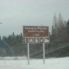
Sasagiu Rapids Provincial Park
501.2 km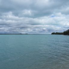
Little Limestone Lake Provincial Park
662.3 km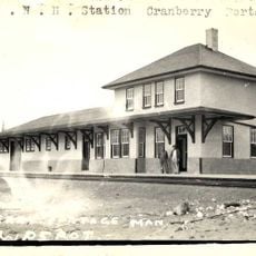
Cranberry Portage railway station
613.2 km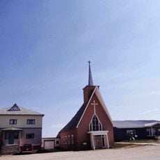
Cathedral of the Holy Canadian Martyrs and Queen of Martyrs
193.9 km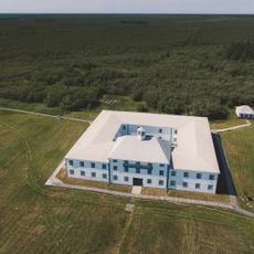
Depot in York Factory
403.8 km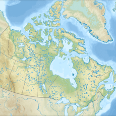
Rocky Lake Provincial Park
655.7 km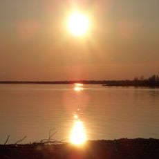
Stephens Lake
372.2 kmReviews
Visited this place? Tap the stars to rate it and share your experience / photos with the community! Try now! You can cancel it anytime.
Discover hidden gems everywhere you go!
From secret cafés to breathtaking viewpoints, skip the crowded tourist spots and find places that match your style. Our app makes it easy with voice search, smart filtering, route optimization, and insider tips from travelers worldwide. Download now for the complete mobile experience.

A unique approach to discovering new places❞
— Le Figaro
All the places worth exploring❞
— France Info
A tailor-made excursion in just a few clicks❞
— 20 Minutes