
Crooked Rapids, rapids in Northern Saskatchewan Administration District, Saskatchewan, Canada (lat 54.38, lon -102.15)
Location: Saskatchewan
Elevation above the sea: 291 m
GPS coordinates: 54.38341,-102.15080
Latest update: April 5, 2025 02:36
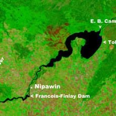
Tobin Lake
125.4 km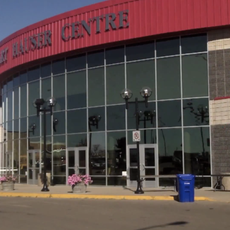
Art Hauser Centre
270.8 km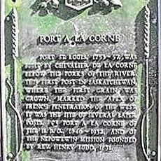
Fort de la Corne
221.9 km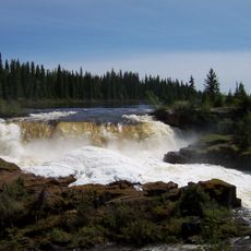
Pisew Falls Provincial Park
257.4 km
Muenster
308.8 km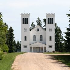
St. Peter's Abbey, Saskatchewan
308.8 km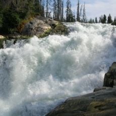
Nistowiak Falls
181.2 km
Holy Trinity Anglican Church
192 km
Annaheim
290.3 km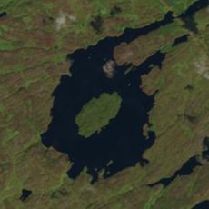
Gow crater
273.9 km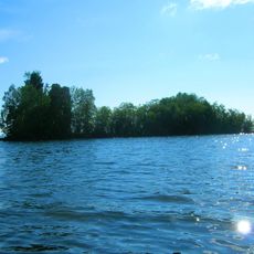
Lac La Ronge Provincial Park
201.1 km
St. Gregor
306.9 km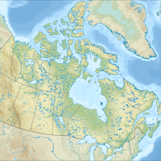
Candle Lake Provincial Park
217.5 km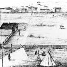
Fort Livingstone
276.8 km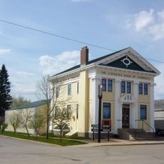
Canadian Bank of Commerce
296.5 km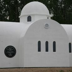
Profitis Ilias Greek Orthodox Church
241.6 km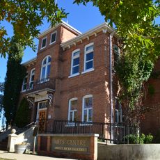
Prince Albert Arts Centre
271.2 km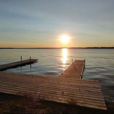
Clearwater Lake Provincial Park
77.4 km
Kichi Sipi Bridge
285.5 km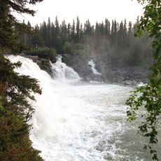
Kwasitchewan Falls
266.3 km
Clarence-Steepbank Lakes Provincial Park
185.3 km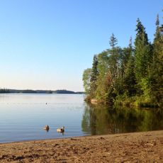
Bakers Narrows Provincial Park
44.4 km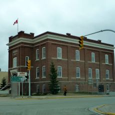
Sam Waller Museum
85.6 km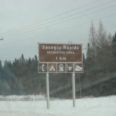
Sasagiu Rapids Provincial Park
252.3 km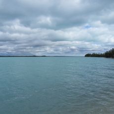
Little Limestone Lake Provincial Park
196.4 km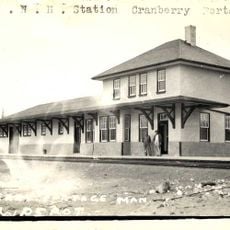
Cranberry Portage railway station
54.6 km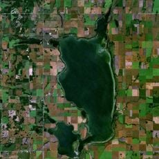
Raven Island National Wildlife Area
287.1 km
Rocky Lake Provincial Park
54.5 kmReviews
Visited this place? Tap the stars to rate it and share your experience / photos with the community! Try now! You can cancel it anytime.
Discover hidden gems everywhere you go!
From secret cafés to breathtaking viewpoints, skip the crowded tourist spots and find places that match your style. Our app makes it easy with voice search, smart filtering, route optimization, and insider tips from travelers worldwide. Download now for the complete mobile experience.

A unique approach to discovering new places❞
— Le Figaro
All the places worth exploring❞
— France Info
A tailor-made excursion in just a few clicks❞
— 20 Minutes