
3856 Loggers Way, house in Ottawa
Location: Ottawa
Inception: 1833
Address: 3856 Loggers Way
GPS coordinates: 45.39501,-76.19021
Latest update: March 5, 2025 10:07
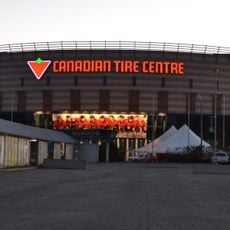
Canadian Tire Centre
23.3 km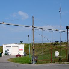
CFS Carp
12.1 km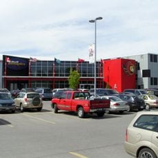
Bell Sensplex
24.5 km
Horaceville, Ottawa
19.2 km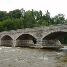
Pakenham Bridge
10.1 km
Fitzroy Provincial Park
10 km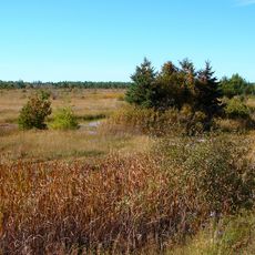
Burnt Lands alvar
15.2 km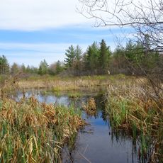
Carp Hills
9.6 km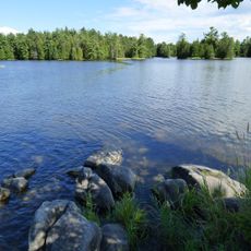
Morris Island Conservation Area
9.2 km
CFS Carp Almonte Detachment
15.1 km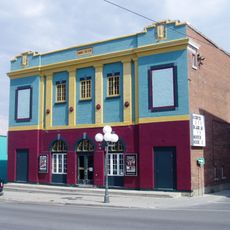
O'Brien Theatre
13.5 km
Alexander Stewart Provincial Park
24.4 km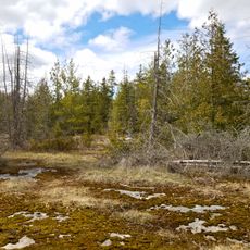
Panmure Alvar
9.1 km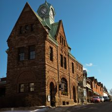
Former Almonte Post Office
18.9 km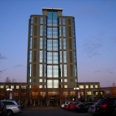
Brookstreet Hotel
22 km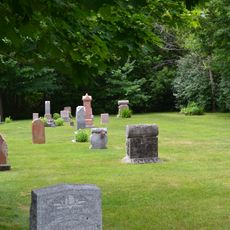
Cimetière Edey
25 km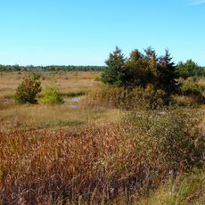
Burnt Lands Provincial Park
14.8 km
David A. Gillies Building
13.5 km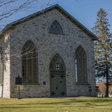
Auld Kirk Presbyterian Church
20.5 km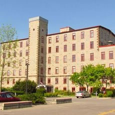
Rosamond Woollen Mill
18.6 km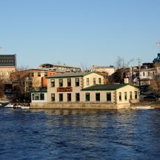
Iron Works Building
18.8 km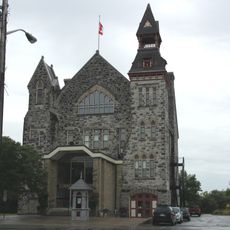
Almonte Town Hall
18.8 km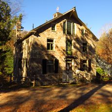
Mill of Kintail
17.3 km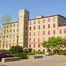
Rosamond No. 1 Mill
18.6 km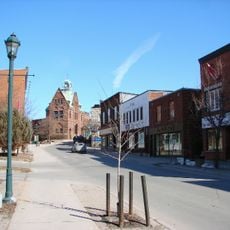
Downtown Almonte Heritage Conservation District
18.7 km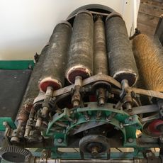
Rosamond Mill #1 Office and Warehouse
18.6 km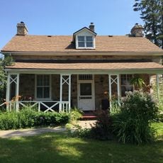
Gatehouse (Mill of Kintail)
17.6 km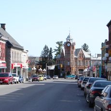
Downtown Arnprior Heritage Conservation District
13.5 kmReviews
Visited this place? Tap the stars to rate it and share your experience / photos with the community! Try now! You can cancel it anytime.
Discover hidden gems everywhere you go!
From secret cafés to breathtaking viewpoints, skip the crowded tourist spots and find places that match your style. Our app makes it easy with voice search, smart filtering, route optimization, and insider tips from travelers worldwide. Download now for the complete mobile experience.

A unique approach to discovering new places❞
— Le Figaro
All the places worth exploring❞
— France Info
A tailor-made excursion in just a few clicks❞
— 20 Minutes