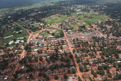
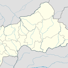
Gbadolite, Gbadolite city in Democratic Republic of Congo
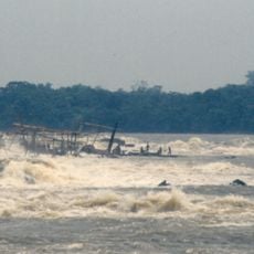
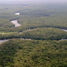
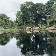
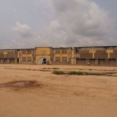
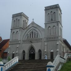
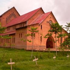
Gbadolite is a city in northwestern Democratic Republic of the Congo located by the Ubangi River near the border with the Central African Republic. Its landscape features large palaces, abandoned hotels, and modern structures partially overgrown with vegetation, creating a mix of former grandeur and present quiet.
The city was once a small village that transformed into the personal residence of Mobutu Sese Seko, the president of Zaire, during the 1970s and 1980s. After his fall in 1997 and subsequent looting by rebel forces, Gbadolite declined rapidly, with most structures damaged or abandoned.
Gbadolite bears the marks of a time when the city became the personal project of a single leader, showing how this political vision shaped the place and its character. Local residents today connect memories of former prosperity with the quiet rhythm of farming and fishing that now defines daily life.
Traveling to Gbadolite requires careful planning since basic services and facilities are limited in the area. It is recommended to bring necessary supplies and hire local guides to explore the ruins safely and gain better understanding of the site's history.
Beneath the city lies a massive nuclear bunker built during Mobutu's era that could shelter over 500 people, connected by a secret tunnel to the nearby Ubangi River. This underground structure remains one of the lesser-known aspects of Gbadolite's past and reveals the scale of the fortifications of that time.
The community of curious travelers
AroundUs brings together thousands of curated places, local tips, and hidden gems, enriched daily by 60,000 contributors worldwide.