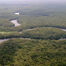
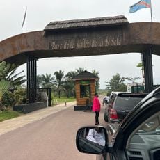
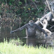
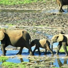
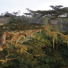
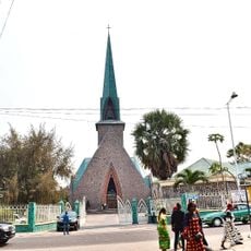
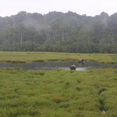
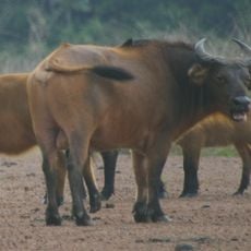
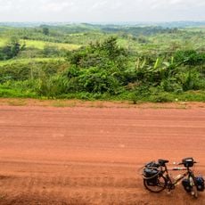
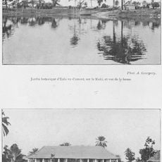
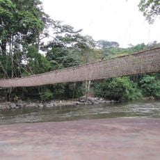
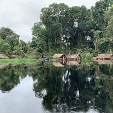
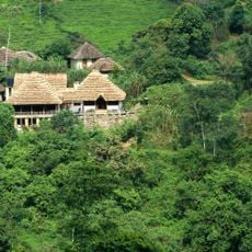
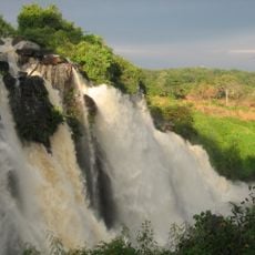
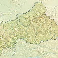
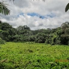
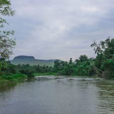
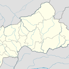
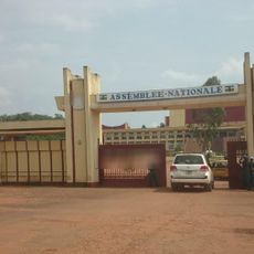
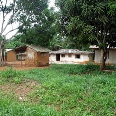
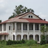
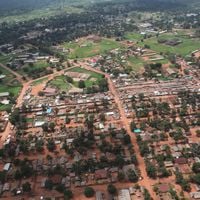
Équateur, former province of the Democratic Republic of the Congo, 1966-2015
The community of curious travelers
AroundUs brings together thousands of curated places, local tips, and hidden gems, enriched daily by 60,000 contributors worldwide.
Location
Capital city
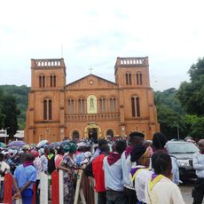
Mbandaka
Shares border with
Orientale Province, Kasaï-Oriental, Kasaï-Occidental, Bandundu Province
Website
GPS coordinates
0.04765,18.25600
Latest update
March 8, 2025 13:08