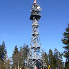
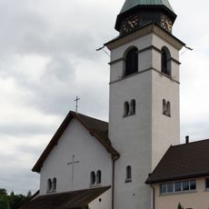
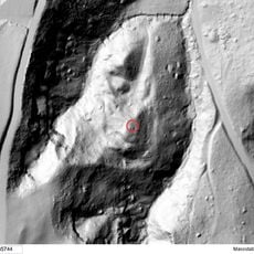
Bachtel, Mountain summit and radio tower in Zurich Oberland, Switzerland
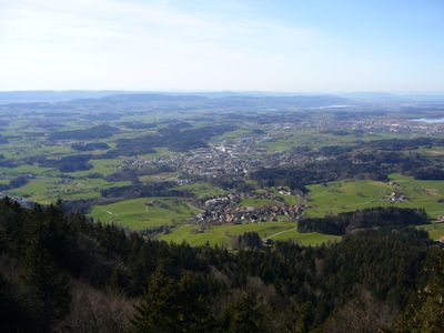
Bachtel is a mountain summit in the Zurich Oberland, situated between the towns of Hinwil and Wald, reaching 1,115 meters (3,658 feet) above sea level. A tall radio transmission tower stands at the top and is visible from a wide area around it.
The Bachtel drew hikers and day-trippers for generations before the radio tower was built at its summit in the mid-20th century. That construction changed the look of the top and made the peak easy to spot from far away.
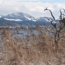
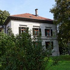
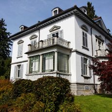
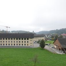
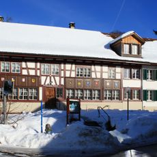
The Bachtel is a familiar sight for people living in the villages of the Zurich Oberland and feels like a natural part of everyday life there. On clear days, the view from the top reaches the Alps, Lake Zurich, and much of the Swiss Plateau.
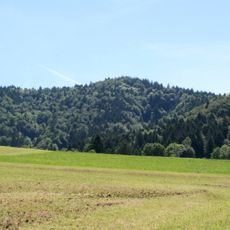
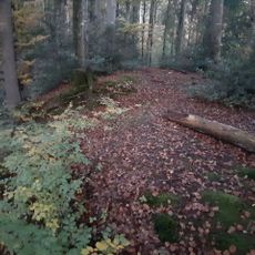
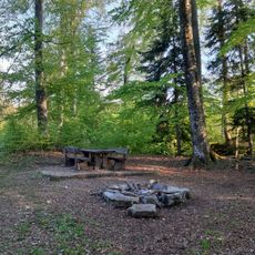
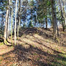
Several hiking trails lead to the top, with the main route starting from Hinwil Langmatt. Trails are clearly marked year-round, though snow can make the upper sections more demanding in winter.
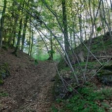
Along the trail, hikers come across the Bachtelspalt, a narrow crack in the rock that requires removing a backpack to pass through. This short squeeze catches many first-time visitors off guard on an otherwise straightforward walk.
The community of curious travelers
AroundUs brings together thousands of curated places, local tips, and hidden gems, enriched daily by 60,000 contributors worldwide.