Enable Location

We need your location to show you interesting places around you

Discover nearby places

Find interesting locations and hidden gems around you

Precise directions

Get accurate directions and distances to places

Your location is never shared with other users. It's only used when you tap the location button.

Piz Daint

Log in to your account

Start exploring — it's free

Trusted by 62,191 travelers worldwide

Continue with Google
Continue with Apple
or

We will send you a code to connect

By continuing, you accept our Terms and Conditions and our Privacy Policy

Check your inbox

We've sent a pincode in your inbox. Please enter the code below.

Piz Daint

Piz Daint, Mountain summit in Grisons, Switzerland

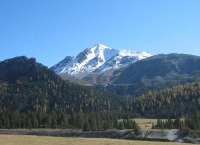
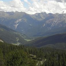
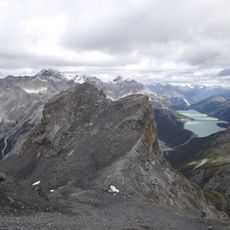
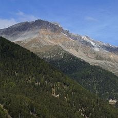
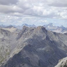
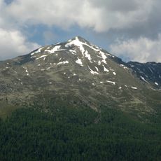
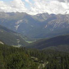
Piz Daint is a mountain peak in the Ortler Alps reaching 2968 meters and marks the northern edge of the Val Müstair valley. Its slopes transition from grasslands to rocky terrain as elevation increases, shaped by the typical Alpine geology of this region.

The name originates from ancient Rhaetian language roots reflecting this location at the inner part of the Müstair valley. The peak has long served as a reference point for people living and working in the surrounding area.

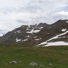
Shepherds have grazed livestock on these slopes for centuries as part of the valley's way of life. This pastoral practice continues to shape how people and animals move through the landscape with the seasons.

The main trail starts from Tschierv village and uses marked paths that climb through changing terrain. Plan for about four hours of hiking to reach the summit, which requires moderate fitness but no technical climbing gear.

Switzerland's most powerful supercomputer carries the same name and performs complex weather and climate calculations for the entire Alpine region. This connection between a remote mountain peak and modern computing is a curious link that most visitors never discover.

The community of curious travelers

AroundUs brings together thousands of curated places, local tips, and hidden gems, enriched daily by 60,000 contributors worldwide.

Start exploring
Location
Elevation above the sea
2,968 m
GPS coordinates
46.61875,10.29094
Latest update
December 13, 2025 17:00
« Piz Daint - Mountain summit in Grisons, Switzerland » is provided by Around Us (aroundus.com). Images and texts are derived from Wikimedia project under a Creative Commons license. You are allowed to copy, distribute, and modify copies of this page, under the conditions set by the license, as long as this note is clearly visible.

Discover hidden gems everywhere you go!

From secret cafés to breathtaking viewpoints, skip the crowded tourist spots and find places that match your style. Our app makes it easy with voice search, smart filtering, route optimization, and insider tips from travelers worldwide. Download now for the complete mobile experience.

Around Us App Screenshot

A unique approach to discovering new places

Le Figaro

All the places worth exploring

France Info

A tailor-made excursion in just a few clicks

20 Minutes

Around Us
Travel Guide & Maps
Download

Send to your phone

QR Code
1

Open the camera app on your mobile.

2

Point at the QR code with your camera. A notification will appear.

3

Tap the notification to open the link.