Chest opened
+${chestReward.xp} XP
Explorer
NOUVEAU ×${chestReward.collectible.quantity}
tapez pour fermer

See the monuments around you in AR Open chests in the app

Around Us is built for your phone — point your camera at the streets and discover the monuments and places around you in augmented reality. Around Us is built for your phone — chests unlock when you walk, explore and capture nearby places.

•

Enable Location

We need your location to show you interesting places around you

Discover nearby places

Find interesting locations and hidden gems around you

Precise directions

Get accurate directions and distances to places

Your location is never shared with other users. It's only used when you tap the location button.

Monte Cassa del Ferro

Log in to your account

Start exploring — it's free

Trusted by 93,645 travelers worldwide

Continue with Google
Continue with Apple
or

We will send you a code to connect

By continuing, you accept our Terms and Conditions and our Privacy Policy

Check your inbox

We've sent a pincode in your inbox. Please enter the code below.

Monte Cassa del Ferro

Monte Cassa del Ferro, Mountain summit in Lombardy, Italy

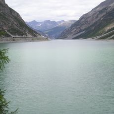
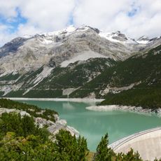
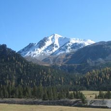
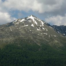
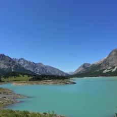
Monte Cassa del Ferro is a rocky peak in the Livigno Alps standing at about 3140 meters high with steep, exposed slopes. The terrain is harsh and demand mountaineering skills for safe passage.

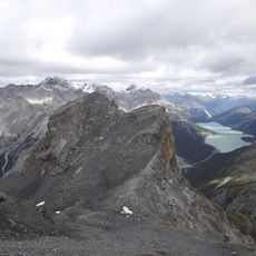
The sources record no historical events, surveys or first ascent for Monte Cassa del Ferro; its documented facts are topographic. It is the highest point of a north-south ridge between the Lago di Livigno to the west and north, the Val del Gallo to the east and the Valle Alpisella to the south, with a saddle prominence of 849 metres. A secondary summit of 3134 m lies about 500 metres south-west of the main top.

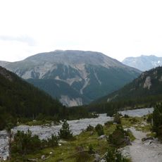
The mountain is rarely climbed because of its remoteness, so no annual expeditions or local guiding tradition exist. The usual route starts at Passo di Fraéle, follows the Valle Bruna to the saddle between Monte Cassa del Ferro and Cima di Pra Grata, then gains the east ridge to the main summit, graded T5 / II.

Summer months offer the best climbing window when snow melts and conditions are more stable. It is important to plan with local knowledge and monitor weather closely, as mountain conditions can shift rapidly.

A secondary summit, 3134 m, stands about 500 m southwest of the main top. The mountain's saddle prominence of 849 m makes it relatively independent, and the usual route from Passo di Fraéle reaches difficulty T5/II only briefly on the east ridge just below the summit.

The community of curious travelers

AroundUs brings together thousands of curated places, local tips, and hidden gems, enriched daily by 93,645 contributors worldwide.

Start exploring
Location
Elevation above the sea
3,140 m
GPS coordinates
46.57861,10.20167
Latest update
October 25, 2026 20:07
Reviews
Share your experience

No review yet

Discussions
Start a discussion...

No discussion yet

« Monte Cassa del Ferro - Mountain summit in Lombardy, Italy » is provided by Around Us (aroundus.com). Images and texts are derived from Wikimedia project under a Creative Commons license. You are allowed to copy, distribute, and modify copies of this page, under the conditions set by the license, as long as this note is clearly visible.

Discover hidden gems everywhere you go!

From secret cafés to breathtaking viewpoints, skip the crowded tourist spots and find places that match your style. Our app makes it easy with voice search, smart filtering, route optimization, and insider tips from travelers worldwide. Download now for the complete mobile experience.

Around Us App Screenshot
❝

A unique approach to discovering new places❞

— Le Figaro

❝

All the places worth exploring❞

— France Info

❝

A tailor-made excursion in just a few clicks❞

— 20 Minutes

Around Us
Travel Guide & Maps
Download

Send to your phone

QR Code
1

Open the camera app on your mobile.

2

Point at the QR code with your camera. A notification will appear.

3

Tap the notification to open the link.