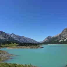
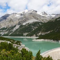
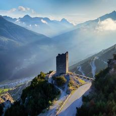
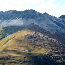
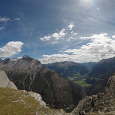
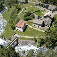
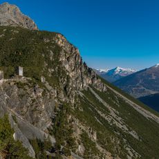
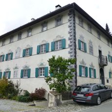
Monte Forcola, Mountain summit in Val Müstair, Switzerland
Monte Forcola is a 2,906 m peak in Graubünden, Switzerland, on the Italian border between Valdidentro and Santa Maria Val Müstair. It belongs to the western Rhaetian Alps, in the Val Müstair subsection. About 200 m south of the summit, at the border, lies the triple watershed of the Adige, Po and Danube basins at 2,896 m.
Monte Forcola lies on the border between Valdidentro in Italy and Santa Maria Val Müstair in Switzerland, in the Rhaetian Alps' Val Müstair subsection. The sources record no separate naming history: the peak shares its name with the Forcola pass and appears as Pizzo della Forcola in Italian. Its documented feature is the triple watershed of the Po, Adige and Danube basins, about 200 m south of the summit at 2,896 m.
The summit lies on the Swiss-Italian border between Valdidentro and Santa Maria Val Müstair, in the Rhaetian Alps' Val Müstair subsection. The name Forcola is a common Alpine term for a small pass or saddle, fitting a peak that straddles two countries and two language areas.
The peak is accessible through different hiking routes starting from the valley, with journey times varying by route. Winter ski touring is also possible, but good preparation and mountain experience are essential.
The triple watershed of the Adige, Po and Danube basins lies about 200 metres south of the summit, at 2,896 m, right on the Italian border. The summit itself, at 2,906 m, is in Graubünden, Switzerland, close to Italy.
The community of curious travelers
AroundUs brings together thousands of curated places, local tips, and hidden gems, enriched daily by 92,927 contributors worldwide.