Enable Location

We need your location to show you interesting places around you

Discover nearby places

Find interesting locations and hidden gems around you

Precise directions

Get accurate directions and distances to places

Your location is never shared with other users. It's only used when you tap the location button.

Val Müstair

Log in to your account

Start exploring — it's free

Trusted by 62,191 travelers worldwide

Continue with Google
Continue with Apple
or

We will send you a code to connect

By continuing, you accept our Terms and Conditions and our Privacy Policy

Check your inbox

We've sent a pincode in your inbox. Please enter the code below.

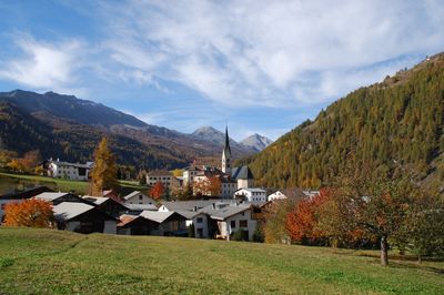
Val Müstair, Mountain municipality in Graubünden, Switzerland

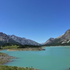
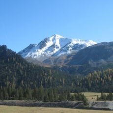
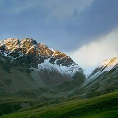
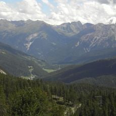
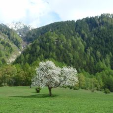
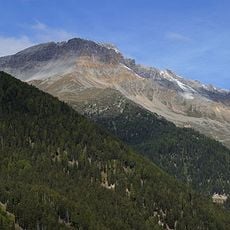
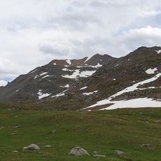
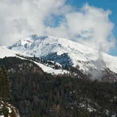
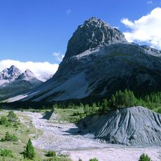
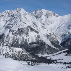
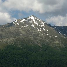
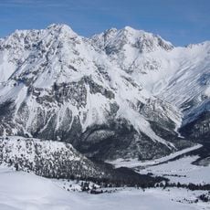
Val Müstair is a mountain municipality stretching across a large Alpine area with meadows, forests, and mountain passes from the Fuorn Pass to the Italian border. The landscape features varied elevations where traditional villages sit nestled among green slopes.

The region came into being in 2009 when six separate municipalities merged into one larger administrative unit. This merger reorganized the valley while historical ties to the area span back many centuries.

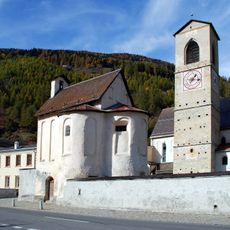
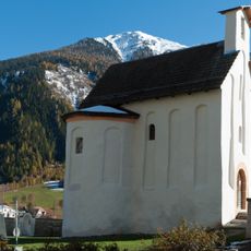
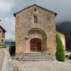
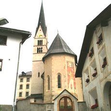
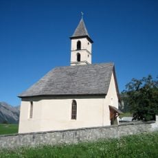
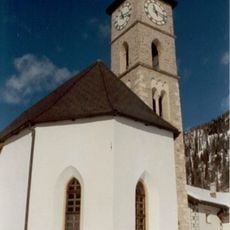
The Benedictine convent shapes the valley's identity through its ancient frescoes and role as a spiritual center for the local community. This sacred place draws visitors interested in religious art and monastic traditions nestled in the mountains.

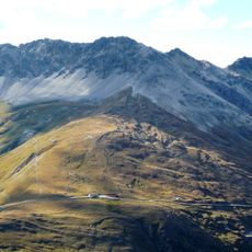
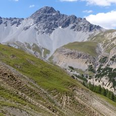
The area offers a dense network of marked hiking trails leading through forests, meadows, and over mountain passes that remain accessible throughout the seasons. Visitors should prepare for changeable mountain weather and bring appropriate gear.

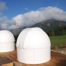
The Lü-Stailas observatory offers sky watching at one of Switzerland's highest permanently inhabited locations with excellent conditions for astrophotography. This facility takes advantage of the clear mountain air for detailed views of stars and planets.

The community of curious travelers

AroundUs brings together thousands of curated places, local tips, and hidden gems, enriched daily by 60,000 contributors worldwide.

Start exploring
Location
Münstertal
Elevation above the sea
1,375 m
Shares border with
Taufers im Münstertal, Stilfs
GPS coordinates
46.60000,10.41667
Latest update
December 7, 2025 10:06
« Val Müstair - Mountain municipality in Graubünden, Switzerland » is provided by Around Us (aroundus.com). Images and texts are derived from Wikimedia project under a Creative Commons license. You are allowed to copy, distribute, and modify copies of this page, under the conditions set by the license, as long as this note is clearly visible.

Discover hidden gems everywhere you go!

From secret cafés to breathtaking viewpoints, skip the crowded tourist spots and find places that match your style. Our app makes it easy with voice search, smart filtering, route optimization, and insider tips from travelers worldwide. Download now for the complete mobile experience.

Around Us App Screenshot

A unique approach to discovering new places

Le Figaro

All the places worth exploring

France Info

A tailor-made excursion in just a few clicks

20 Minutes

Around Us
Travel Guide & Maps
Download

Send to your phone

QR Code
1

Open the camera app on your mobile.

2

Point at the QR code with your camera. A notification will appear.

3

Tap the notification to open the link.