Piz Umbrail, Mountain summit at Italy-Switzerland border, Grisons.
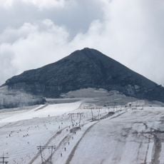
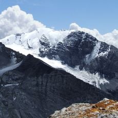
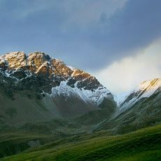
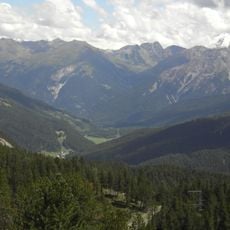
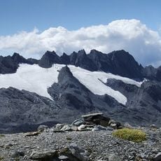
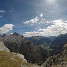
Piz Umbrail rises to 3,033 meters (9,951 feet) in the Ortler Alps, sitting right on the Italy-Switzerland border between Lombardy and Graubunden. The summit offers expansive views across both countries and the surrounding Alpine landscape.
The first documented ascent was made on 11 July 1865 by Johann Wilhelm Coaz, a Grisons forest engineer and mountain cartographer, who climbed from the Umbrail Pass over the southeast ridge. A fixed chain now secures the one difficult spot on that route, which otherwise has UIAA grade I difficulty.
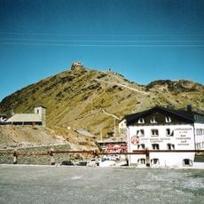
The name Piz Umbrail comes from Romansh, meaning "umbrella peak" or shield-shaped summit, referring to the mountain's profile above the pass. The summit stands exactly on the border between Graubünden and the Italian province of Sondrio, and the Italian slopes belong to Stelvio National Park. The Gasthaus on the Swiss side of the Umbrail Pass serves as a base for visitors heading up.
Hikers can reach the summit using a marked trail from Umbrail Pass, with the climb taking roughly 90 minutes and requiring no specialized gear. The steep terrain and elevation demand good physical fitness, though the route is straightforward for those with Alpine hiking experience.
The mountain's name comes from Romansh and means 'umbrella peak', referring to its shield-like shape above the Umbrail Pass. The first documented ascent was made on 11 July 1865 by Johann Wilhelm Coaz, a Grisons forest engineer and mountain cartographer.
The community of curious travelers
AroundUs brings together thousands of curated places, local tips, and hidden gems, enriched daily by 94,049 contributors worldwide.