
Botterens, municipality in the canton of Fribourg, Switzerland
Location: Gruyère District
Location: Canton of Fribourg
Elevation above the sea: 744 m
Website: https://botterens.ch
GPS coordinates: 46.61667,7.11667
Latest update: March 12, 2025 23:00

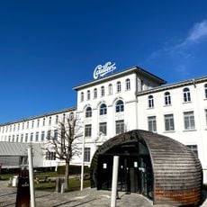
Maison Cailler
1.2 km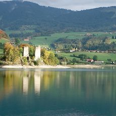
Lac de la Gruyère
3.9 km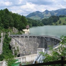
Lac de Montsalvens
1.8 km
Dam of Montsalvens
1.3 km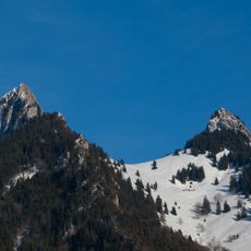
Dent de Broc
3.2 km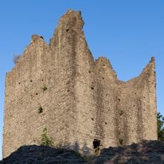
Châtel-sur-Montsalvens Castle
862 m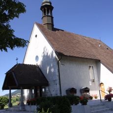
Notre-Dame-des-Marches, Broc
2.9 km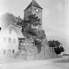
Tower of La Tour-de-Trême
4 km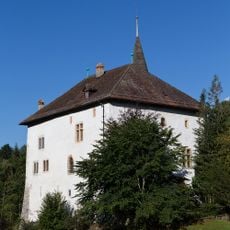
Château d'En-Bas
2.4 km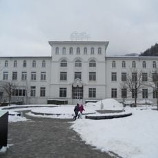
Fabrique de chocolat Cailler
1.3 km
Charmey
3.7 km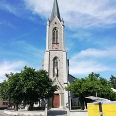
Saint-Joseph parish church
3.9 km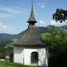
Sainte-Trinité chapel
3 km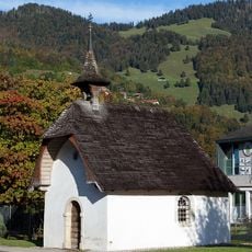
Saint-Pierre chapel
3.2 km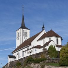
Saint-Laurent parish church with ossuary and oratory
3.5 km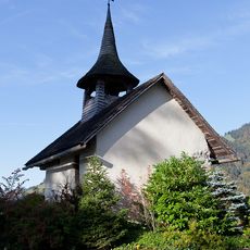
Sainte-Anne chapel
4 km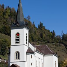
Eglise Saints-Jean-et-Paul, Cerniat
3.5 km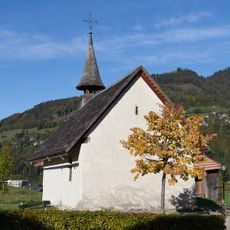
Saint-Jean-Baptiste chapel
3.6 km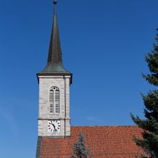
Saint-Othmar parish church
1.9 km
Chalet de la Monse
3.2 km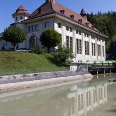
Groupe E Electrobroc, Centre d'information sur l'énergie
1.4 km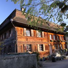
Farmhouse of Antoine Repond
3.2 km
Barrage de Montsalvens (cf. Châtel-sur-Montsalvens)
1.3 km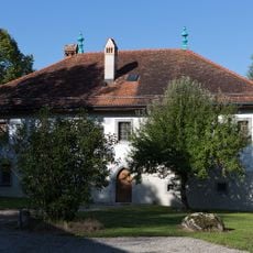
Former Benedictine priory
2.4 km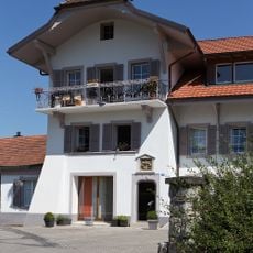
Château d'En-Haut
2 km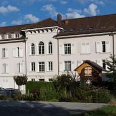
Home des ouvrières
1.8 km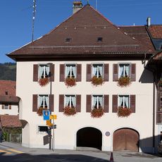
Rectory
3.6 km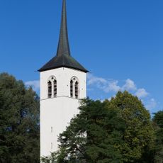
Tour-porche de l'ancienne église Saint-Othmar
2.4 kmReviews
Visited this place? Tap the stars to rate it and share your experience / photos with the community! Try now! You can cancel it anytime.
Discover hidden gems everywhere you go!
From secret cafés to breathtaking viewpoints, skip the crowded tourist spots and find places that match your style. Our app makes it easy with voice search, smart filtering, route optimization, and insider tips from travelers worldwide. Download now for the complete mobile experience.

A unique approach to discovering new places❞
— Le Figaro
All the places worth exploring❞
— France Info
A tailor-made excursion in just a few clicks❞
— 20 Minutes