Adliswil, municipality in the canton of Zürich, Switzerland
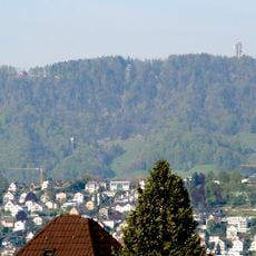
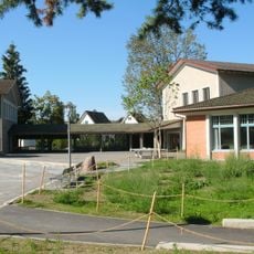
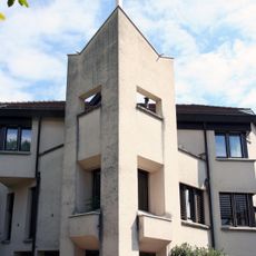
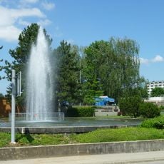
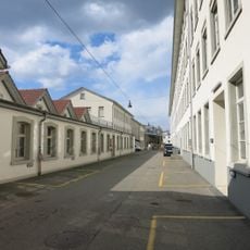
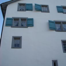
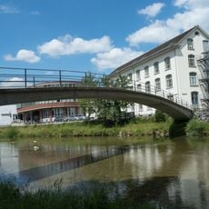
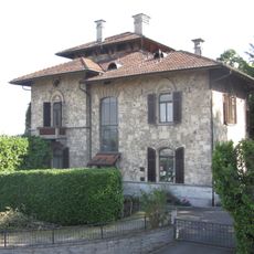
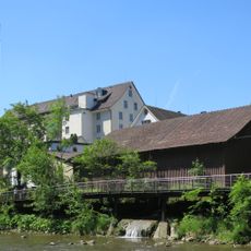
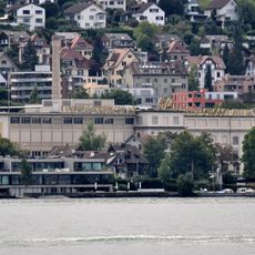
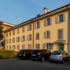
Adliswil is a municipality in the Horgen District of Zurich canton, situated along the Sihl River and surrounded by forests and hills. The town features a mix of older buildings and modern structures, with quiet streets, local shops, and parks that invite exploration.
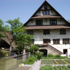
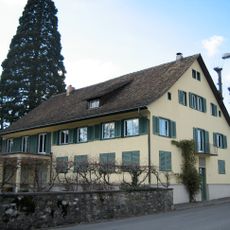
Adliswil was first mentioned in writing in the 12th century and remained a rural village shaped by farming and forestry for centuries. The arrival of the railway in the 1800s brought growth and connections to nearby cities, shaping the town as it is today.
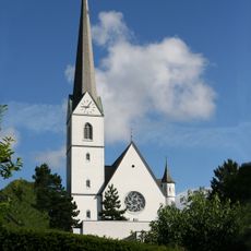
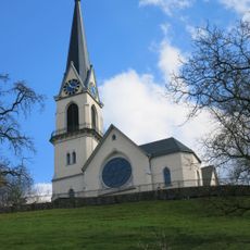
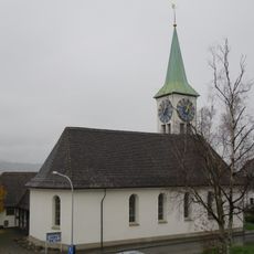
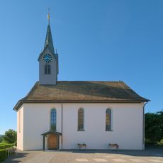
The name Adliswil comes from old German words meaning "at the forest". The town keeps its heritage alive through St. Martin Church in the center, where residents gather and local traditions continue to be part of community life.
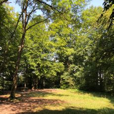
Adliswil is easy to reach by public transport, with trains connecting directly to Zurich and buses serving different parts of town. Visitors should wear sturdy shoes if exploring the forests and hills, as many paths are uneven and natural.
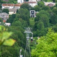
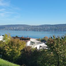
The Adliswil-Felsenegg cable car is a rare connection up to a mountain ridge offering views of Zurich and the Alps. Operating for many decades, this cable car sets the town apart and offers visitors a simple way to reach high viewpoints.
The community of curious travelers
AroundUs brings together thousands of curated places, local tips, and hidden gems, enriched daily by 60,000 contributors worldwide.