Zürichberg, Mountain summit in Zürich, Switzerland
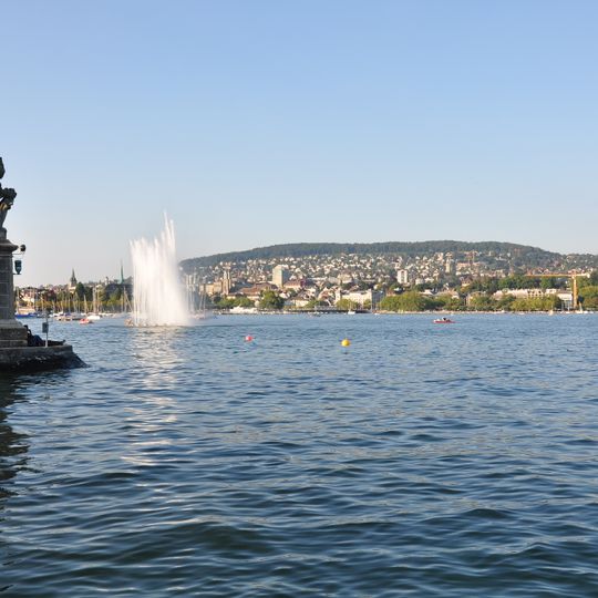
Zürichberg is a wooded hill rising to 676 m east of Zürich's centre, between the Limmat and Glatt valleys; its highest point, the Escherhöhe, lies about 270 m above Lake Zürich. It forms the northwestern end of the Pfannenstiel chain and is divided among the Fluntern, Hottingen and Oberstrass quarters. Villas cover the western slope, while forest covers the flatter ridge and reaches further down the eastern side.
The name Zürychberg was first recorded in 1188. Until the Reformation, the Augustinerkloster St. Martin stood behind today's zoo, and a Letzi wall ran down the slope, ending at the Krattenturm, a 14th-century tower destroyed in 1444. From 1873 the Verschönerungsverein Zürich laid out the battle memorial, paths and benches.
The name Zürichberg appears in a document as early as 1188. On the western slope, wine growing was long the main source of income for residents of Fluntern and Oberstrass, with vineyards reaching up to about 600 metres. A small Souvignier gris vineyard planted in 2023 above 630 metres recalls that tradition.
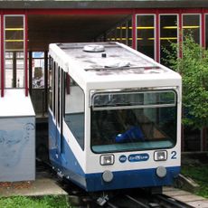
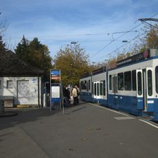
The mountain is accessible by tram or cable railway from the city center. Footpaths climb through the wooded slopes, allowing visitors to hike up at their own pace.
The Zürichbergtunnel actually passes under the neighbouring Adlisberg, not under the Zürichberg itself. The tunnel that does run through this hill's lower western slope is the Weinbergtunnel, opened in 2014, which loops through the hillside on a long curve.
The community of curious travelers
AroundUs brings together thousands of curated places, local tips, and hidden gems, enriched daily by 92,787 contributors worldwide.