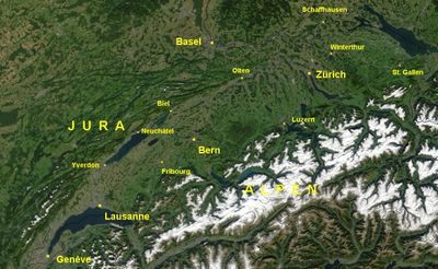
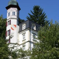
Swiss Plateau, Geological basin between Jura Mountains and Alps, Switzerland
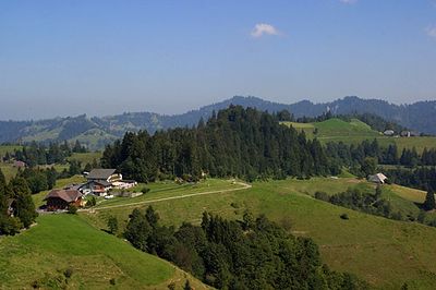
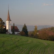
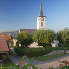
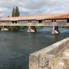
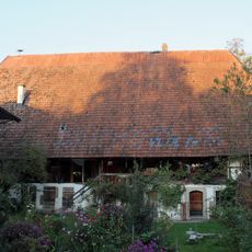
The Swiss Plateau stretches across 300 kilometers from Lake Geneva in the southwest to Lake Constance in the northeast, covering roughly 30 percent of Switzerland's land. It is a gently rolling terrain cut through by rivers, bordered by the Alps to the south and the Jura Mountains to the northwest.
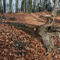
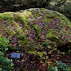
During ice age periods, massive glaciers shaped the landscape by carving out valleys and leaving behind scattered boulders. These glacial movements created the terrain we see today, including distinctive drumlin formations that still mark the region.
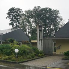
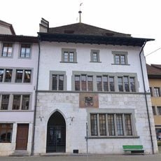
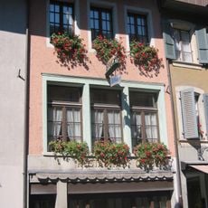
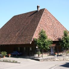
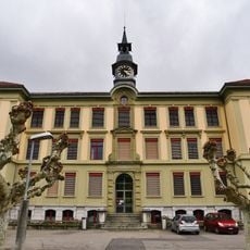
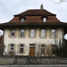
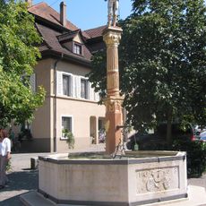
The region is home to major cities like Zurich, Geneva, and Bern, which serve as centers for education, research, and commerce. These urban areas form the heart of Swiss economic and intellectual life.
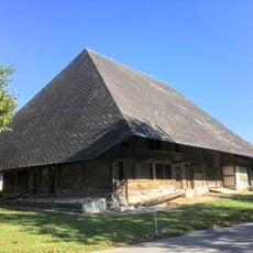
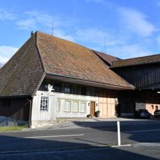
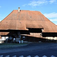
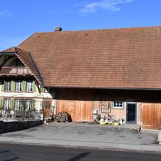
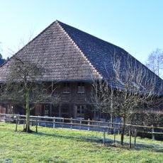
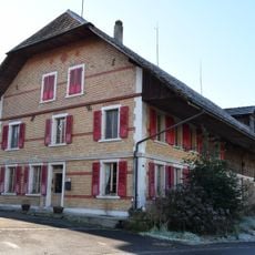
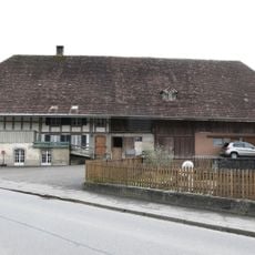
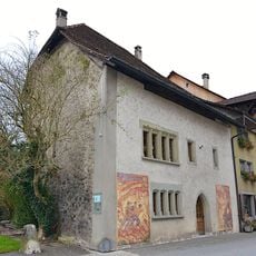
About half of the land supports farming activities, while forests make up roughly 24 percent and urban areas occupy about 16 percent. This mix of rural and built-up zones offers varied experiences depending on where you travel within the region.
No square kilometer of this region has experienced complete darkness at night since 1996 due to dense urban development and light pollution. This intensive nighttime illumination is a striking feature of modern land use across Europe.
The community of curious travelers
AroundUs brings together thousands of curated places, local tips, and hidden gems, enriched daily by 60,000 contributors worldwide.