Enable Location

We need your location to show you interesting places around you

Discover nearby places

Find interesting locations and hidden gems around you

Precise directions

Get accurate directions and distances to places

Your location is never shared with other users. It's only used when you tap the location button.

Canton of Neuchâtel

Log in to your account

Start exploring — it's free

Trusted by 62,177 travelers worldwide

Continue with Google
Continue with Apple
or

We will send you a code to connect

By continuing, you accept our Terms and Conditions and our Privacy Policy

Check your inbox

We've sent a pincode in your inbox. Please enter the code below.

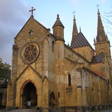
Canton of Neuchâtel, Canton in western Switzerland

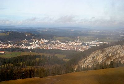
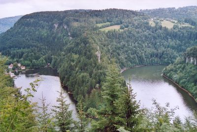
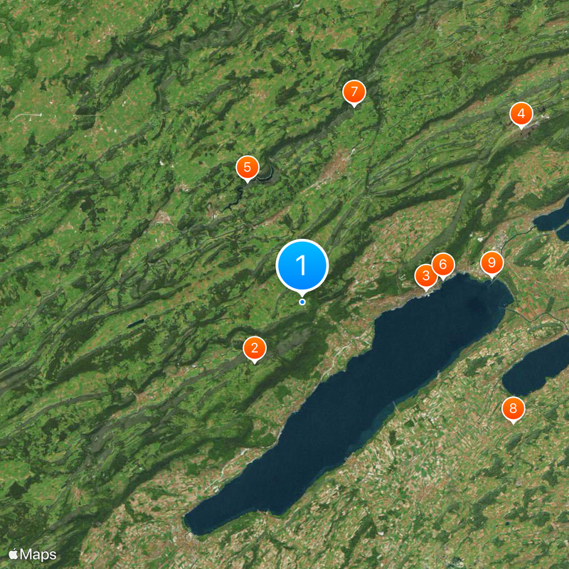
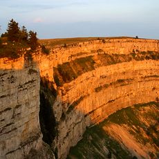
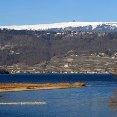
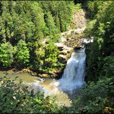
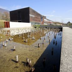
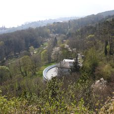
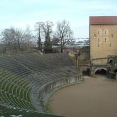
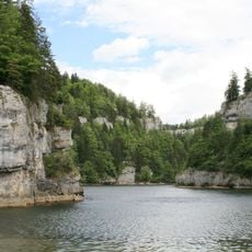
Canton of Neuchâtel sits in western Switzerland and stretches from the lake shore to the Jura mountain range. The area covers six districts with varied landscapes from waterfront to mountain hills.

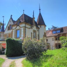
This territory developed as a distinct region from 1034 under Count Ulrich of Fenis and later became a principality under Prussian rule. The transition to a republic occurred in 1848 when the monarchical form of government was abandoned.

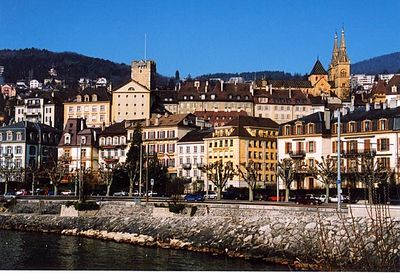
French is the main language spoken across this region, which forms part of Romandy and maintains close ties to French-speaking culture. Local place names, street signs and public life reflect this linguistic identity.

The area can be reached by several main roads and rail connections that link its larger towns to the rest of Switzerland. Administration is divided across six districts, making it easier to handle local matters in different parts.

This area was once the only monarchy within the Swiss Confederation and turned into a republic in 1848. The political change happened without armed conflict and transformed the governmental structure completely.

The community of curious travelers

AroundUs brings together thousands of curated places, local tips, and hidden gems, enriched daily by 60,000 contributors worldwide.

Start exploring
Location
Inception
1034
Capital city
Neuchâtel
Elevation above the sea
430 m
Reference
NE
Part of
Romandy, Espace Mittelland
Shares border with
Bern, Canton of Vaud, Canton of Fribourg, Canton of Jura, Doubs, Franche-Comté
Website
GPS coordinates
46.98333,6.78333
Latest update
December 13, 2025 18:56
« Canton of Neuchâtel - Canton in western Switzerland » is provided by Around Us (aroundus.com). Images and texts are derived from Wikimedia project under a Creative Commons license. You are allowed to copy, distribute, and modify copies of this page, under the conditions set by the license, as long as this note is clearly visible.

Discover hidden gems everywhere you go!

From secret cafés to breathtaking viewpoints, skip the crowded tourist spots and find places that match your style. Our app makes it easy with voice search, smart filtering, route optimization, and insider tips from travelers worldwide. Download now for the complete mobile experience.

Around Us App Screenshot

A unique approach to discovering new places

Le Figaro

All the places worth exploring

France Info

A tailor-made excursion in just a few clicks

20 Minutes

Around Us
Travel Guide & Maps
Download

Send to your phone

QR Code
1

Open the camera app on your mobile.

2

Point at the QR code with your camera. A notification will appear.

3

Tap the notification to open the link.