Piz Sardona, Mountain summit in Glarus, Switzerland
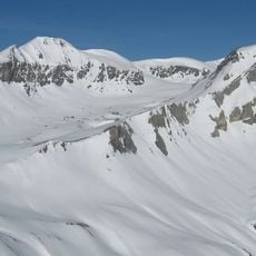
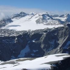
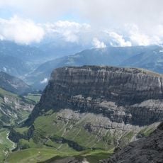
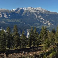
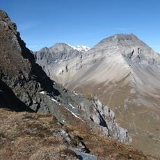
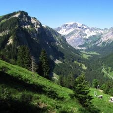
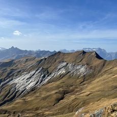
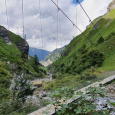
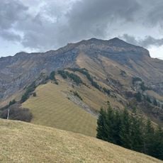
Piz Sardona is a 3,056 m summit on the border between the cantons of Glarus and St. Gallen, overlooking the Sernf valley on the Glarus side and the Calfeisen valley on the St. Gallen side. A broad saddle links it to the Piz Segnas (3,099 m), and the Sardonagletscher lies near the summit on the east side. The Foo Pass trail below connects Weisstannen with Elm.
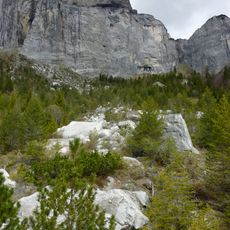
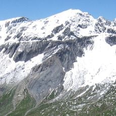
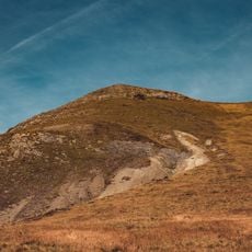
The mountain displays rock layers where Verrucano stone sits atop Lochsite limestone and flysch, revealing millions of years of Alpine building. These layered formations record the tectonic movements that shaped the entire mountain range.
The name Surenstock is the older German form still used in the Glarus valleys, while Piz Sardona follows Romansh naming. The summit marks the northernmost point above 3,000 metres in Switzerland, a figure that fixes it in local orientation. Hikers on the Foo Pass route between Weisstannen and Elm see it as the high point on the cantonal border.
The mountain sits at the border of three Swiss cantons and is best reached from Sargans, where post-buses connect to trailheads like Vättis and Gigerwald. Summer months offer the easiest access, when snow has melted and mountain paths are more passable.
The summit is the northernmost point above 3,000 metres in Switzerland. Less than a kilometre south, at 3,000 metres, lies the tripoint of Glarus, St. Gallen and Grisons, reached over a broad saddle linking the peak to Piz Segnas (3,099 m).
The community of curious travelers
AroundUs brings together thousands of curated places, local tips, and hidden gems, enriched daily by 94,367 contributors worldwide.