Piz Dolf, Mountain summit on the Grisons–St. Gallen border, Switzerland
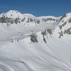
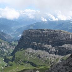
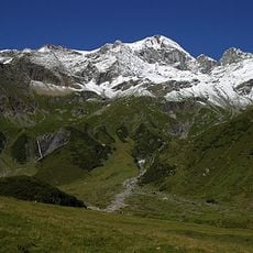
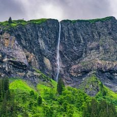
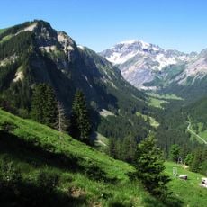
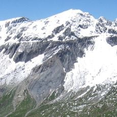
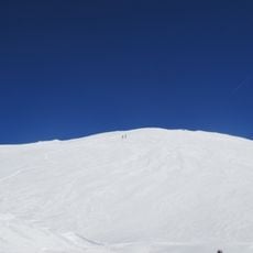
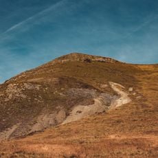
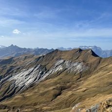
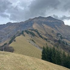
Piz Dolf is a mountain in the Glarus Alps located between Graubünden and Canton St. Gallen, rising to 3,028 meters. Its eastern face drops steeply while the western slopes descend more gradually, scattered with rock fragments across the alpine terrain.
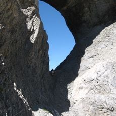
Piz Dolf lies on the Glarus thrust, where very old Verrucano rock was pushed over much younger Flysch layers during the formation of the Alps. The summit, like neighbouring Piz Sardona and Piz Segnas, is built of Verrucano. This overthrust is listed as UNESCO World Natural Heritage.
The name Piz Dolf is Romansh, while the German name Trinserhorn probably comes not from the Romansh-speaking municipality of Trin but from the St. Gallen Calfeisental. The summit marks the meeting point of the municipalities of Flims and Trin in Grisons and Pfäfers in St. Gallen. Hikers reach it from the Sardona Pass or from Flims along the Segnas Glacier, with both routes joining on the northwest flank.
Visitors can reach the starting point by cable car from Flims Dorf to Cassons station, then traverse across the mountain ridge. The route demands sure-footedness and a head for heights, particularly across the exposed rocky sections.
The summit marks the meeting point of three municipalities: Flims and Trin in Grisons and Pfäfers in St. Gallen. Its upper part shows the Glarus thrust, where old Verrucano rock was pushed over much younger Flysch; this overthrust is listed as UNESCO World Natural Heritage.
The community of curious travelers
AroundUs brings together thousands of curated places, local tips, and hidden gems, enriched daily by 94,625 contributors worldwide.