Fil de Cassons, Mountain summit in Grisons, Switzerland
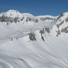
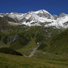
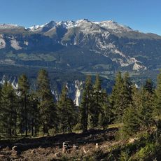
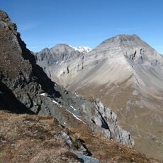
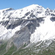
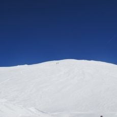
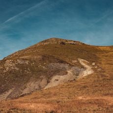
Fil de Cassons is a mountain ridge in the Glarus Alps near Flims, Grisons, Switzerland. It runs about 2.4 km from Fuorcla Raschaglius at 2600 m to almost a kilometre east of Mutta Bella at 2644 m. Its southern face, Flimserstein, rises above Flims; the ridge drops steeply north into the Bargis valley. The top consists of greenish, very schistose and brittle Verrucano rock.
The summit served as a natural landmark for herding communities moving livestock through Alpine pastures. Traditional routes through Val Bargis connected seasonal grazing grounds during summer months.
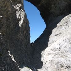
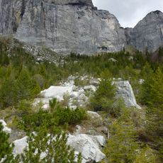
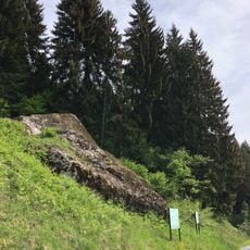
The Glarus thrust, a UNESCO World Natural Heritage site, runs just below the ridge: a few metres north of the old cable-car station hikers cross the line where greenish, brittle Verrucano rock of the ridge top meets the grey rock above. The thrust is best seen from the north or at the eastern end, and also on Piz Dolf, Piz Segnas and the Tschingelhörner.
The summit is accessible from several starting points, with routes from Flims being common choices for most hikers. The climb involves steep terrain and exposed ridge sections that require good physical fitness and solid mountain skills.
A few metres north of the old Cassons cable-car station, hikers cross the Glarus thrust without noticing: the rock underfoot changes from greenish Verrucano schist to light grey limestone. The thrust plane itself is hard to see from the south; it shows best from the less accessible north side or at the ridge's eastern end.
The community of curious travelers
AroundUs brings together thousands of curated places, local tips, and hidden gems, enriched daily by 94,624 contributors worldwide.