Piz Lunghin, Mountain summit in Grisons, Switzerland
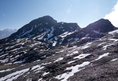
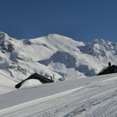
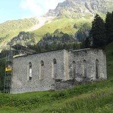
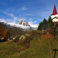
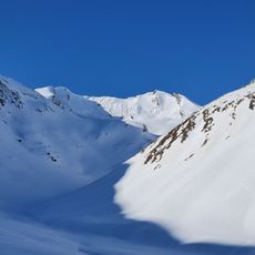
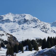
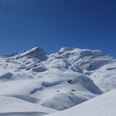
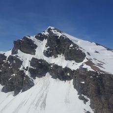
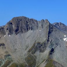
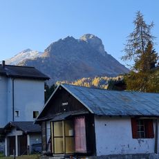
Piz Lunghin is a 2,780 ft (2,780 m) summit in the Albula range in the Swiss canton of Grisons, sitting above the Maloja Pass. The upper part is rocky, while the lower slopes open onto alpine meadows that change in appearance through the seasons.
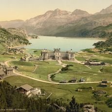
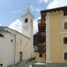
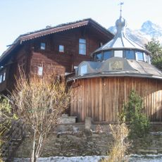
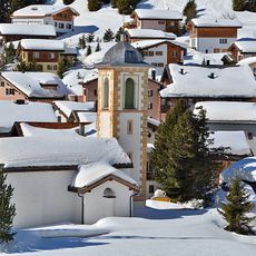
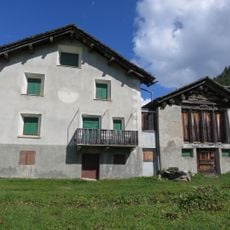
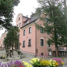
The Maloja Pass at the foot of this summit has served as a crossing point between Lombardy and Graubunden since Roman times. Over centuries, merchants and travelers passed through here, shaping the communities that grew on both sides of the Alps.
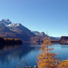
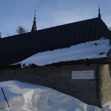
The Senda Segantini, a hiking trail near the summit, is named after painter Giovanni Segantini, who painted the landscapes of this region in the late 19th century. Along the trail, information panels explain which views and scenes inspired his work.
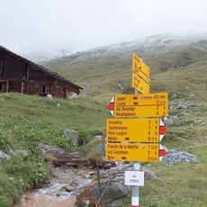
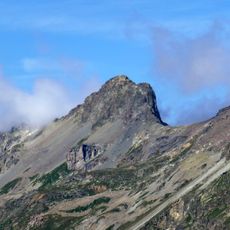
Two main trails reach the top from Lägh da Lunghin and Pass Lunghin, with the final stretch passing over rocky ground and a narrow gully. Sturdy footwear is a good idea, and checking the weather before setting out is always worth it, as conditions can shift fast.
At the summit, three European watersheds meet: water drains toward the Mediterranean via the Po, the North Sea via the Rhine, and the Black Sea via the Danube. Very few places on the continent share this kind of triple water divide, which makes it a point of interest for geographers and curious hikers alike.
The community of curious travelers
AroundUs brings together thousands of curated places, local tips, and hidden gems, enriched daily by 60,000 contributors worldwide.