Piz Piot, Mountain summit in Grisons, Switzerland
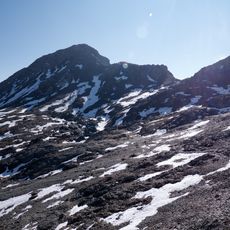
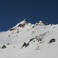
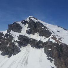
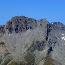
Piz Piot is a double-peaked mountain of the Oberhalbstein Alps between Juf and Casaccia in Graubünden, reaching 3052 m. Its higher east summit (3052 m) is joined by a lightly saddled ridge to the west summit (3037 m), 500 m away. The Piotgletscher lies on its north flank, and the summit marks the municipal boundary between Avers and Bregaglia.
Piz Piot lies in the Gletscherhorn–Piz Piot chain of the Oberhalbstein Alps, on the border between the municipalities of Avers and Bregaglia. Its double summit is recorded with an eastern peak of 3052 m and a western peak of 3037 m, about 500 m apart along a lightly saddled ridge. The name comes from Lombard piot(t)a, "slab", from Latin plautus, "flat-footed".
The name comes from the Lombard word piotta, meaning slab, from Latin plautus, flat-footed, referring to the mountain's flat rock forms. The summit marks the municipal boundary between Avers and Bregaglia, and the valley base for climbs is Juf, the highest year-round inhabited village in Europe.
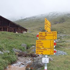
Routes start from Juf (2116 m), Juppa (1980 m) or Casaccia (1458 m). Via the Juferjoch (2764 m) the northeast ridge takes about 2¾ hours from Juf and 5¼ hours from Casaccia; the north ridge over the Piotjoch (2821 m) and west summit takes 3 hours from Juf. The path to Lägh da la Duäna is marked white-red-white.
The name comes from the Lombard word piotta, meaning slab, from Latin plautus, flat-footed. The summit marks the municipal boundary between Avers and Bregaglia. On the north flank lies the Piotgletscher. The farthest visible point is 303 km away, near Monte Argentera in Piedmont.
The community of curious travelers
AroundUs brings together thousands of curated places, local tips, and hidden gems, enriched daily by 94,220 contributors worldwide.