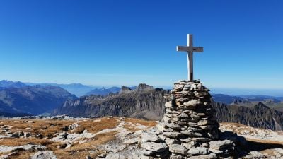
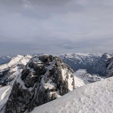
Silberen, Mountain summit in Schwyz, Switzerland.
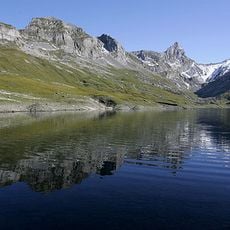
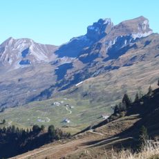
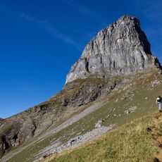
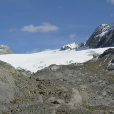
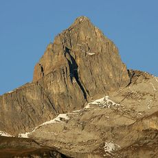
Silberen is a mountain summit in the Schwyzer Alps that rises to 2,314 meters (7,592 feet). The peak sits on a limestone plateau surrounded by neighboring peaks of the same alpine range.
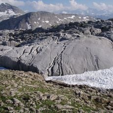
The limestone at Silberen formed millions of years ago when tectonic forces pushed ancient marine sediments upward. These geological processes created the distinctive rock structure we see today.
Local mountaineering clubs organize regular guided tours to explore the mountain's geological formations and native Alpine flora throughout the summer months.
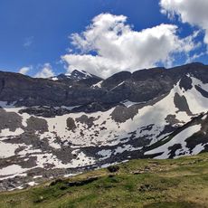
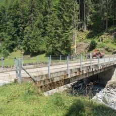
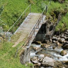
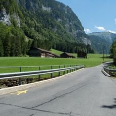
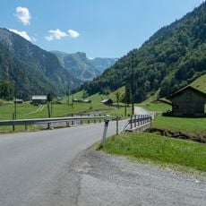
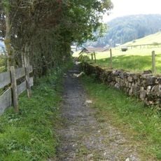
The main hiking route begins at Roggenloch through the Pragel Pass trail network and takes about five hours to reach the summit. Sturdy footwear and weather preparation are important since the high plateau is exposed to changing conditions.
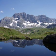
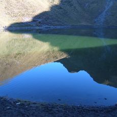
The mountain's surface is carved with numerous limestone channels and hollows that form one of the largest karst landscapes in the Swiss Alps. This porous structure developed as water dissolved the soft limestone over vast stretches of time.
Location: Schwyz
Elevation above the sea: 2,314 m
Address: Silberen, 6436 Muotathal, Switzerland
GPS coordinates: 46.99238,8.89942
Latest update: December 6, 2025 17:43
The Alps offer a wide range of natural landscapes. You find mountain lakes with clear waters, like the Eibsee in Bavaria or the Sorapis Lake in the Dolomites, gorges carved by torrents like the Partnach Gorge or the Cirque of Sixt-Fer-à-Cheval, and stunning rocky peaks such as the Tre Cime di Lavaredo or Mont Aiguille in Vercors. The mountain range also shows remarkable geological formations, like the Désert de Platé with its eroded limestone rocks creating endless striped surfaces, or the steep cliffs that surround the valleys and give each region its character. These sites can be reached by hiking trails, allowing visitors to see the variety of alpine scenery and how water, ice, and weather have shaped these mountains.
Klöntalersee
7.2 km
Bös Fulen
4.5 km
Glattalpsee
8.1 km
Druesberg
5.2 km
Braunwalder Klettersteig
7.3 km
Sihlseeli
4 km
Glarnisch Glacier
7.2 km
Höch Turm
7.2 km
Pfannenstock
3.6 km
Pragelpass
2.5 km
Chratzerengrat
2.3 km
Ortstockhaus
7.7 km
Vorderseeberg Brücke
7.3 km
Cholplatz Brücke (Bisisthalerstrasse)
7.9 km
Sacred Heart Church
7.5 km
EBS Kraftwerk Riedplätz Stauwehrsteg
7 km
Bergli Steg
8.2 km
Redertenstock
7.2 km
Seeberg Brücke
7.4 km
Hinterseeberg Brücke
7.4 km
Schwarzenbach Brücke
7.8 km
Mettlen Brücke
7 km
Ortstockhaus
7.7 km
Dürrenboden Steg
7.5 km
Luftseilbahn Weglosen–Seebli
7.5 km
Steinweid Brücke (Bisisthalerstrasse)
7.7 km
Laui Brücke (Bisisthalerstrasse)
7.4 km
Alte Gasse
7.2 kmVisited this place? Tap the stars to rate it and share your experience / photos with the community! Try now! You can cancel it anytime.
Discover hidden gems everywhere you go!
From secret cafés to breathtaking viewpoints, skip the crowded tourist spots and find places that match your style. Our app makes it easy with voice search, smart filtering, route optimization, and insider tips from travelers worldwide. Download now for the complete mobile experience.
A unique approach to discovering new places❞
— Le Figaro
All the places worth exploring❞
— France Info
A tailor-made excursion in just a few clicks❞
— 20 Minutes