Bös Fulen, Mountain summit in Glarus and Schwyz, Switzerland
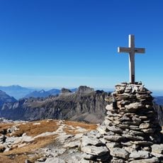
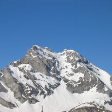
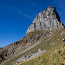
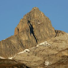
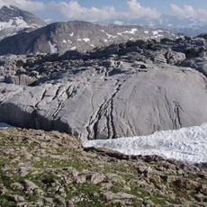
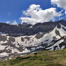
Bös Fulen is a rocky, pathless massif in the Schwyz Alps whose summit, at 2,801 m, is the highest point of the canton of Schwyz and is shared by the cantons of Schwyz and Glarus. The ridge runs northwest from the summit and southwest in the opposite direction; the Grisset (2,721 m), also called Guet Fulen, lies just under a kilometre to the northeast. The summit is surrounded by the Hinter Gassenstock to the north, the Gross Risi scree slope to the east, the Fulenplänggeli rock wall about 1.5 km to the south, and the Schafstöckli (2,303 m) and Schafbüchel (2,152 m) to the west.
The mountain has marked the natural boundary between Schwyz and Glarus since the cantons were established. This geographic position made it a historical landmark in the alpine region.
Many generations of Swiss mountaineers have developed technical climbing routes on Bös Fulen, establishing it as a reference point for alpine training.
The nearest locality is Braunwald in the canton of Glarus, from where routes lead up to the summit. The peak is difficult to reach even for experienced mountaineers, so the approach demands sure footing on rocky, pathless terrain. The summit ridge runs northwest and southwest from the top, with the Grisset (2,721 m) about a kilometre to the northeast.
The name Bös Fulen means "evil Fulen", a joke among mountaineers because the rocky summit is hard to reach even for experienced climbers. About a kilometre northeast lies the Grisset (2,721 m), also called Guet Fulen, the "good Fulen".
The community of curious travelers
AroundUs brings together thousands of curated places, local tips, and hidden gems, enriched daily by 93,450 contributors worldwide.