Napfgebiet, Mountain area between Bern and Lucerne, Switzerland
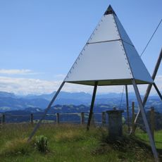
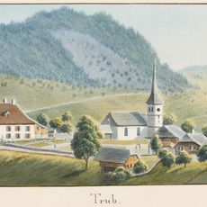
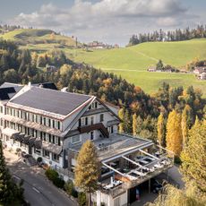
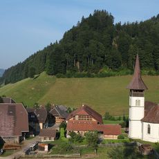
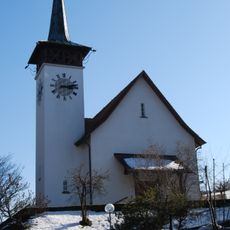
The Napfgebiet is a mountain area between Bern and Lucerne featuring steeply sloped hills covered with forests and scattered farms rising between 800 and 1,406 meters (2,625 and 4,613 feet). The landscape consists of densely forested terrain with evergreens and small settlements nestled into the natural slopes.
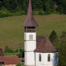
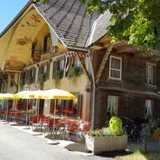
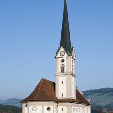
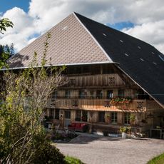
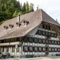
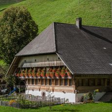
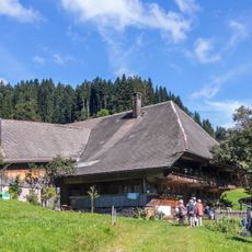
The area has been inhabited by mountain farmers for centuries who adapted to harsh conditions and built small settlements on the slopes. These settlement patterns have remained largely unchanged across generations and continue to shape the region's appearance today.
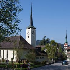
Mountain farmers shape the landscape through traditional grazing practices and small homesteads scattered across the hills, maintaining a way of life tied closely to the land. This rural character is woven into the local identity and defines how people interact with the terrain every day.
The terrain can only be reached on foot or by bicycle from starting points like Mettlenalp or Hinder Ey since no roads or trains reach the higher elevations. The lack of vehicle access keeps the region quieter and makes it suitable for visitors who prefer walking or cycling.
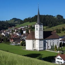
A multi-stage walking route connects the cantons of Bern and Lucerne through varied landscapes and small mountain villages along the border. This path reveals different elevation zones and how the terrain shifts between regions.
The community of curious travelers
AroundUs brings together thousands of curated places, local tips, and hidden gems, enriched daily by 60,000 contributors worldwide.