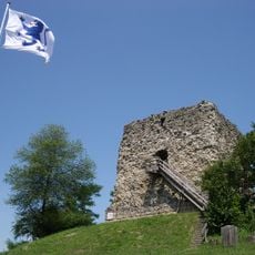
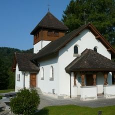
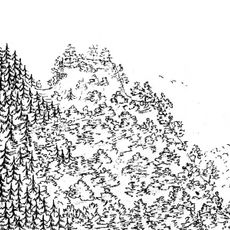
Dättenberg, Mountain summit in Zürich, Switzerland
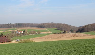
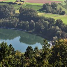
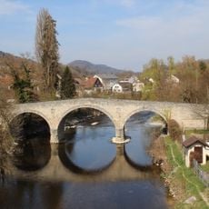
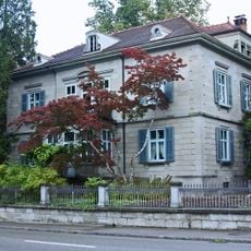
Dättenberg is a mountain summit near Zürich that rises above the surrounding valleys and offers views across the local landscape. The ridge connects two distinct geographical areas and provides a natural landmark visible from several directions.
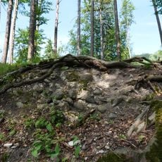
Dättenberg was shaped during the last ice age by glacial movements that sculpted the Swiss Plateau landscape. The mountain retains its form from these ancient geological processes that occurred thousands of years ago.
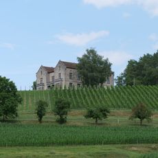
The western slopes of Dättenberg maintain traditional Swiss agricultural practices through small vineyards that contribute to local wine production.
The summit is accessible via several hiking trails that depart from different starting areas around the region. Routes are open year-round, though conditions vary depending on weather and the season.
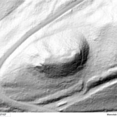
A major railway tunnel passes directly beneath this mountain and connects several nearby cities without being visible from above. Most visitors walking the summit have no idea about this engineering passage running underground below them.
Location: Zürich
Elevation above the sea: 597 m
Part of: Swiss Plateau
GPS coordinates: 47.52577,8.56369
Latest update: December 14, 2025 18:40
Altes Schloss Teufen
2.2 km
Aussichtsturm Petersboden
1.7 km
Tössegg
2.9 km
Ruine Freienstein
2 km
Trinity Church
2.2 km
Reformierte Kirche Bülach
2 km
Sternwarte Bülach
867 m
Tössegg
2.9 km
Saint Petrus catholic church
1.8 km
Stone bridge, so-called "Roman bridge
1.3 km
Medieval castle site
3.5 km
Burgstelle Altenteufen
2.9 km
Burgstelle Heidegg
2.2 km
Rorbas reformed church
1.1 km
Heerenstegstrasse-Brücke
1.5 km
Villa Neuhof mit Gartenhaus, (1839, ehem. Doktorhaus)
1.9 km
Villa Ganz mit Nebenbauten
3.5 km
BSC-Spinnerei-Brücke
1.5 km
Tössegg-Steg
3 km
Neues Schloss Teufen
2.2 km
Gasthaus Adler
1.3 km
Kraftwerk-Freienstein-Steg
2.3 km
Rohrleitungen-Brücke
1.5 km
Irchelstrasse-Brücke
1.4 km
Ehemalige Spinnerei Blumer Söhne & Cie. mit Nebenbauten (Kosthäusern, Maschinenhaus, Kohlenschopf und Hochkamin)
1.6 km
Rathaus (1673), (Gemeindearchiv)
1.9 km
Altstadt mit Mauerring (18 Teilstücke) und Vorstadt
1.9 km
Tössegg-Schlössliacker
2.9 kmVisited this place? Tap the stars to rate it and share your experience / photos with the community! Try now! You can cancel it anytime.
Discover hidden gems everywhere you go!
From secret cafés to breathtaking viewpoints, skip the crowded tourist spots and find places that match your style. Our app makes it easy with voice search, smart filtering, route optimization, and insider tips from travelers worldwide. Download now for the complete mobile experience.
A unique approach to discovering new places❞
— Le Figaro
All the places worth exploring❞
— France Info
A tailor-made excursion in just a few clicks❞
— 20 Minutes