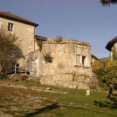
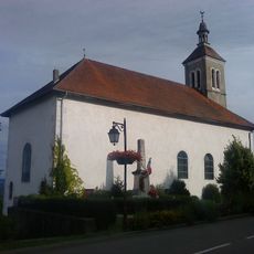
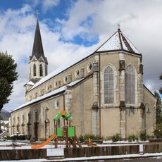
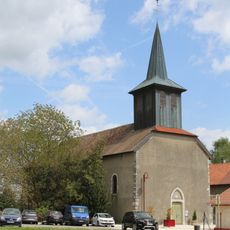
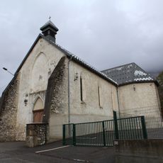
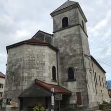
Arpitania, Language area across eastern France, western Switzerland and northwestern Italy.
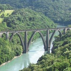
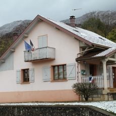
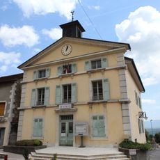
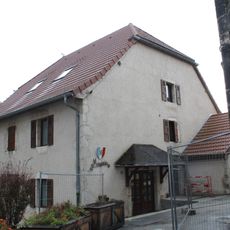
Arpitania is a language region extending through the Western Alps, covering territories from three countries where Franco-Provençal speakers live. The area spans from the French departments of Savoie and Haute-Savoie through Italy's Aosta Valley and into parts of Swiss Romandy, excluding the northern Jura.
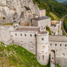
The territory corresponds to former lands of the County of Savoy, which later became the Duchy of Savoy. This medieval inheritance shaped the borders and cultural divisions that remain visible in the Alpine region today.
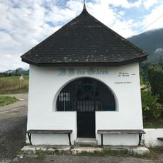
Franco-Provençal speakers, known as Arpitans, use their language with local variations such as Valdôtain, Lyonnais, and Savoyard across the region. This linguistic community continues to shape daily life and identity in these Alpine communities.
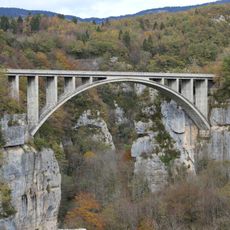
The region is best explored on foot or by car, as settlements and towns are scattered across different valleys and mountain passes. Spring and autumn offer the most comfortable visiting conditions, with stable weather and accessible paths.
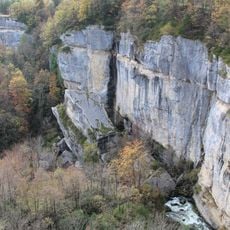
The name comes from the Franco-Provençal word 'arp,' meaning alpine pastures and mountains. This linguistic connection reveals how deeply the language and local culture are tied to the Alpine landscape itself.
The community of curious travelers
AroundUs brings together thousands of curated places, local tips, and hidden gems, enriched daily by 60,000 contributors worldwide.