Lindenberg, Mountain summit in Lucerne and Aargau, Switzerland
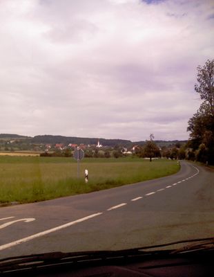
Lindenberg is a mountain ridge straddling the border between Lucerne and Aargau cantons at an elevation of 878 meters. The formation extends over several kilometers and serves as a natural dividing line between the two regions.
During the last ice age the Reuss glacier shaped the landscape leaving behind terminal and lateral moraines. The upper ridge remained ice-free and escaped the heaviest glacial carving.
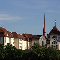
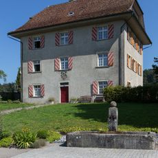
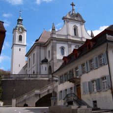
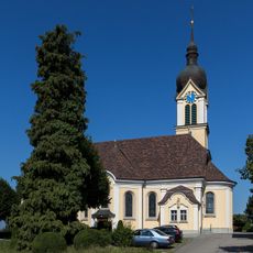
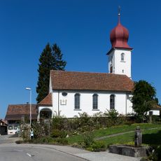
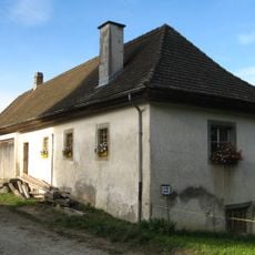
The mountain villages around Lindenberg maintain agricultural traditions, with local farmers focusing on livestock raising and fruit cultivation on the southern slopes.
Hiking trails begin from Buttwil village and offer routes suitable for different fitness levels. The area is easily accessible and clearly marked for walkers of varying abilities.
A grass airstrip sits on the eastern slope where small aircraft regularly take off and land. This aviation facility amid mountain terrain creates an unexpected blend of flying and rural landscape.
The community of curious travelers
AroundUs brings together thousands of curated places, local tips, and hidden gems, enriched daily by 60,000 contributors worldwide.