
Standhore, mountain in Switzerland
Location: Frutigen-Niedersimmental administrative district
Elevation above the sea: 2,339 m
GPS coordinates: 46.61902,7.61369
Latest update: May 4, 2025 04:12
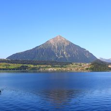
Niesen
4.2 km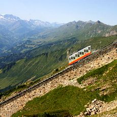
Niesenbahn
6.3 km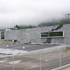
Tropenhaus Frutigen
4.3 km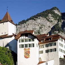
Wimmis Castle
6.2 km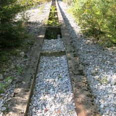
Sperrstelle Wimmis
5.9 km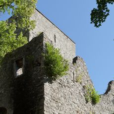
Tellenburg castle ruin
5.6 km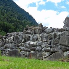
Ruin Mülenen castle and Letzi
6.3 km
Aris ob Kien Castle
6.4 km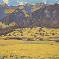
Fromberghorn
1.9 km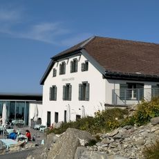
Niesen
4.1 km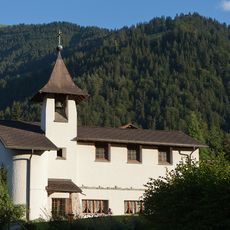
St. Mauritius
4.1 km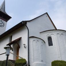
Reformed church
6.2 km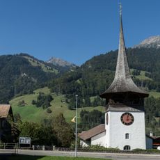
Reformed church
6.2 km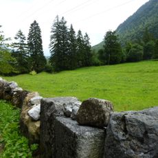
Letzi Spissi, Talsperre
5.5 km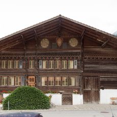
Lower Stucki house
6.2 km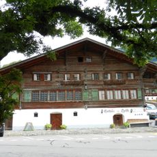
Bären Inn
6.2 km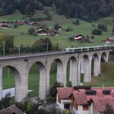
Kander Viaduct
5.7 km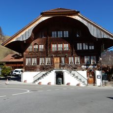
Hirschen Inn
5 km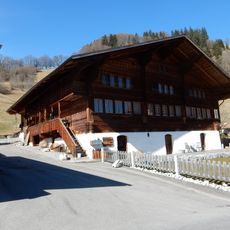
Farmhouse
5 km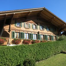
Rural dwelling house (1687)
6.2 km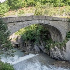
Ritter's stone arch bridge (1766)
6.2 km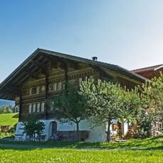
Wittwer house
4.7 km
Big farm house
5 km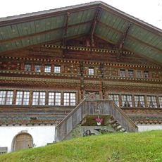
Farmhouse
4.4 km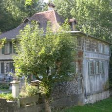
Wohnstock (around 1800)
6.2 km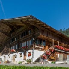
Former inn
6 km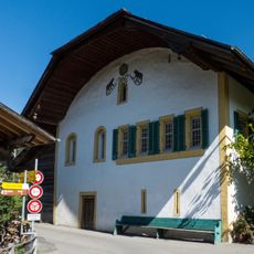
Sust
5.3 km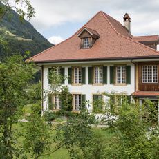
Rectory
6.2 kmReviews
Visited this place? Tap the stars to rate it and share your experience / photos with the community! Try now! You can cancel it anytime.
Discover hidden gems everywhere you go!
From secret cafés to breathtaking viewpoints, skip the crowded tourist spots and find places that match your style. Our app makes it easy with voice search, smart filtering, route optimization, and insider tips from travelers worldwide. Download now for the complete mobile experience.

A unique approach to discovering new places❞
— Le Figaro
All the places worth exploring❞
— France Info
A tailor-made excursion in just a few clicks❞
— 20 Minutes