
Le Ferret, mountain in Switzerland
Location: Conthey District
Elevation above the sea: 2,965 m
GPS coordinates: 46.09460,7.31264
Latest update: March 2, 2025 20:49
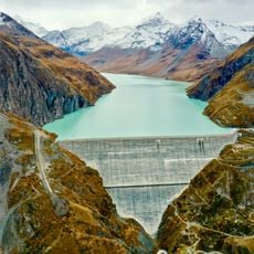
Grande Dixence dam
7.2 km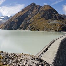
Lac des Dix
7.8 km
4 Vallées
1.7 km
Mont Fort
1.6 km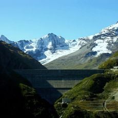
Grande Dixence hydroelectric power plants
7.1 km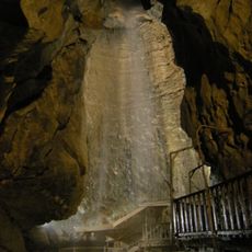
Grotte aux Fées
7.6 km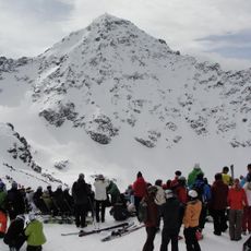
Bec des Rosses
2.7 km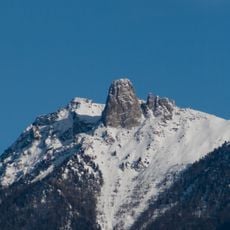
Pierre Avoi
9.1 km
Rosablanche
5 km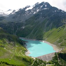
Cleuson Lake
1.9 km
Bruson
7.9 km
Le Parrain
6.2 km
Mont Gelé
2.6 km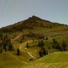
Dent de Nendaz
7.1 km
Pointe de Vouasson
9.1 km
Chapelle de Planchouet
6.3 km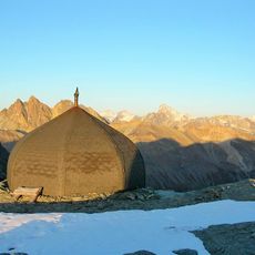
Refuge Igloo des Pantalons Blancs
7.4 km
Tracouet
7.8 km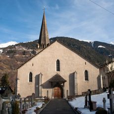
Église St-Maurice - Le Châble
8.2 km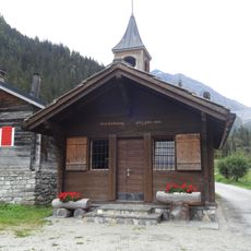
Chapelle Saint-Barthélémy
6.8 km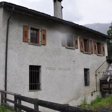
Forge Oreiller
8 km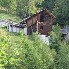
Scie et moulin de Sarreyer
5.9 km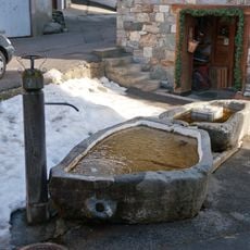
Cotterg - Fontaine du village
7.9 km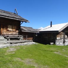
Alpage d'Essertse
8.9 km
Musée de la pierre ollaire
6.8 km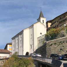
Saint-Théodule parish church
9.1 km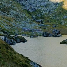
Alpage de Louvie
4.7 km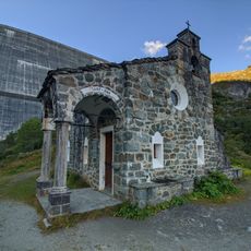
Chapelle Saint Jean-Baptiste d'Hérémence
7.1 kmReviews
Visited this place? Tap the stars to rate it and share your experience / photos with the community! Try now! You can cancel it anytime.
Discover hidden gems everywhere you go!
From secret cafés to breathtaking viewpoints, skip the crowded tourist spots and find places that match your style. Our app makes it easy with voice search, smart filtering, route optimization, and insider tips from travelers worldwide. Download now for the complete mobile experience.

A unique approach to discovering new places❞
— Le Figaro
All the places worth exploring❞
— France Info
A tailor-made excursion in just a few clicks❞
— 20 Minutes