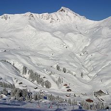
Tête des Ottans, mountain in Switzerland
Location: Valais
Elevation above the sea: 2,548 m
GPS coordinates: 46.12595,6.87327
Latest update: May 27, 2025 06:01
Portes du Soleil
7.5 km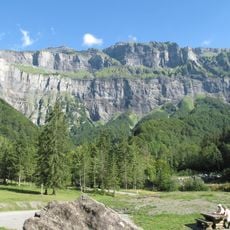
Cirque du Fer-à-Cheval
5.9 km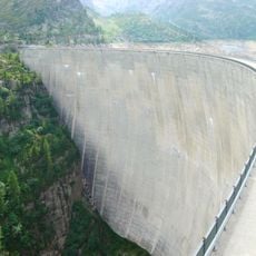
Émosson Dam
7.9 km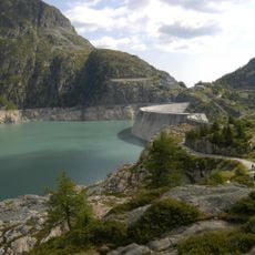
Lake of Émosson
6.1 km
Cirque du Bout du Monde
1.9 km
Lac de Salanfe
6.8 km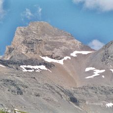
Haute Cime
5.5 km
Dents Blanches
3.5 km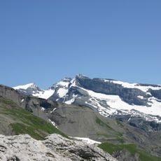
Mont Ruan
2.1 km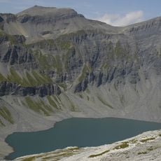
Lac du Vieux Émosson
7.3 km
Hauts-Forts
8.8 km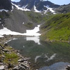
Fontanabran
5.8 km
Luisin
7.5 km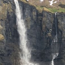
Cascade de la Lyre
5.9 km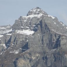
Pic de Tenneverge
3.6 km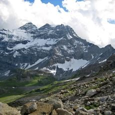
Tour Sallière
4 km
Col de Bretolet
6.3 km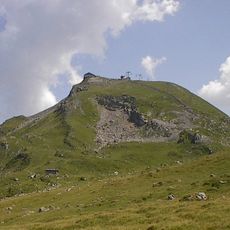
Pointe des Mossettes
8.4 km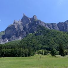
Cornes du Chamois
4.2 km
Le Vieux Émosson
7.4 km
Pointe de Fornet
7.5 km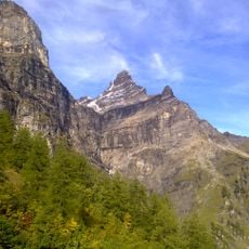
Rochers de Gagnerie
8.1 km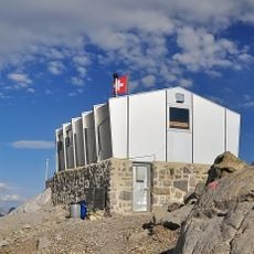
Refuge des Dents du Midi
6.6 km
Pointe de Vorlaz
8.3 km
Pointe de la Finive
6 km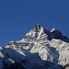
Cime de l'Est
7.8 km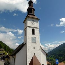
Saint-Maurice church and clock tower
8.9 km
Chalet du Boret
3.4 kmReviews
Visited this place? Tap the stars to rate it and share your experience / photos with the community! Try now! You can cancel it anytime.
Discover hidden gems everywhere you go!
From secret cafés to breathtaking viewpoints, skip the crowded tourist spots and find places that match your style. Our app makes it easy with voice search, smart filtering, route optimization, and insider tips from travelers worldwide. Download now for the complete mobile experience.

A unique approach to discovering new places❞
— Le Figaro
All the places worth exploring❞
— France Info
A tailor-made excursion in just a few clicks❞
— 20 Minutes