
Mieschflue, mountain in Obersimmental-Saanen administrative district' Switzerland
Location: Obersimmental-Saanen administrative district
Elevation above the sea: 2,155 m
GPS coordinates: 46.52401,7.43275
Latest update: June 5, 2025 21:08
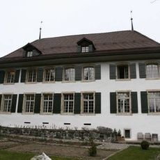
Blankenburg Castle with castle barn
3.8 km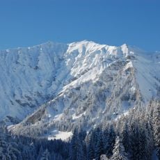
Albristhorn
5.3 km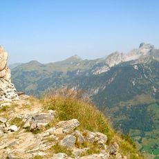
Rinderberg
6.2 km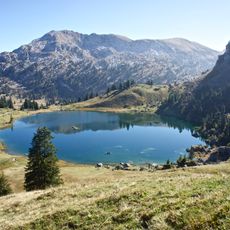
Seehorn
5.2 km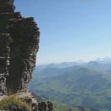
Gsür
6.8 km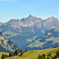
Spillgerte
1.8 km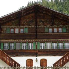
Gütsch Nr. 1142
6.2 km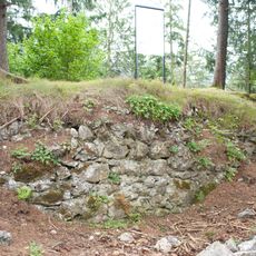
Oberer Mannenberg ruin
6.6 km
Laubegg Castle
8.3 km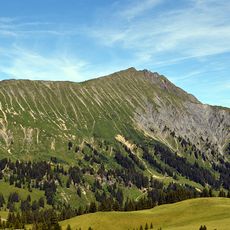
Wistätthorn
8.6 km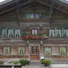
Alte Post
3.9 km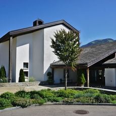
Franciscus Church
5.5 km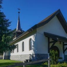
St. Mauritius
7.8 km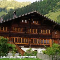
Zweisimmen, Hüsy-Stutz 3
3.9 km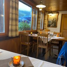
Reichenstein
6.9 km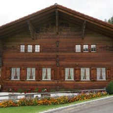
Farmhouse (1742)
6.3 km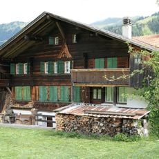
Lenk, Ey 912
9.5 km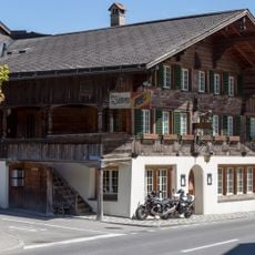
Bären Inn
5.7 km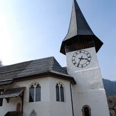
Reformed church with rectory
5.6 km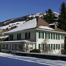
Rectory
7.5 km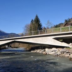
Garstatt Simme bridge
8.8 km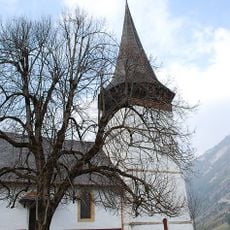
Reformed church
3.8 km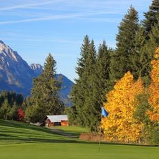
Golfclub Gstaad Saanenland
8.1 km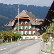
Adler Inn
3.3 km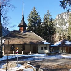
Chapel (1911)
7 km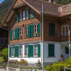
Dwelling house (1899)
5.7 km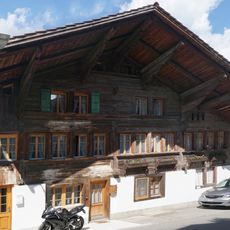
Former double farmhouse
5.5 km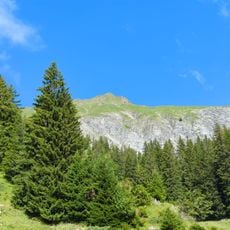
Laaglehore
9 kmReviews
Visited this place? Tap the stars to rate it and share your experience / photos with the community! Try now! You can cancel it anytime.
Discover hidden gems everywhere you go!
From secret cafés to breathtaking viewpoints, skip the crowded tourist spots and find places that match your style. Our app makes it easy with voice search, smart filtering, route optimization, and insider tips from travelers worldwide. Download now for the complete mobile experience.

A unique approach to discovering new places❞
— Le Figaro
All the places worth exploring❞
— France Info
A tailor-made excursion in just a few clicks❞
— 20 Minutes