Albristhorn, Mountain summit in the Bernese Alps, Bern, Switzerland
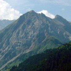
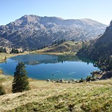
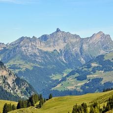
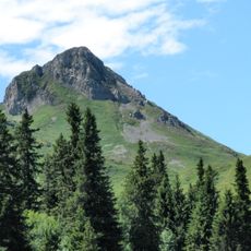
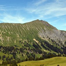
Albristhorn rises to 2,763 meters (9,065 feet) between the Simme and Kander rivers in the Bernese Alps. The peak forms a natural watershed and its rocky summit defines the mountain landscape of this region.
Local communities have used the mountain as a boundary marker between different valleys since ancient times. Generations of herders and farmers established and maintained routes over Hahnenmoos Pass.
The name Albristhorn is Alemannic; locals also call the saddle between Gsür and the summit "Furggeli". The two summit paths are unmarked mountain routes, and the east ridge is rated T4. In winter, with safe conditions, the north flank and upper east ridge form a popular ski tour from the Färmeltal.
Access is via Hahnenmoos Pass at 1,950 meters (6,400 feet), where hikers need sturdy equipment and mountain experience. The steep terrain and changeable weather require appropriate clothing and solid footwear for safe passage.
Albristhorn has a double summit: the main top, on the St. Stephan–Adelboden boundary, carries a summit cross and a weather station and stands one metre higher than the northwest top, about 160 metres away on St. Stephan territory.
The community of curious travelers
AroundUs brings together thousands of curated places, local tips, and hidden gems, enriched daily by 94,621 contributors worldwide.