
Bryndli, mountain in Switzerland
Location: Interlaken-Oberhasli administrative district
Elevation above the sea: 2,134 m
GPS coordinates: 46.54708,7.86911
Latest update: April 27, 2025 12:38
Schilthorn
2.8 km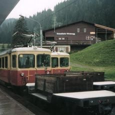
Lauterbrunnen–Mürren mountain railway
4.6 km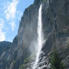
Staubbach Falls
5.5 km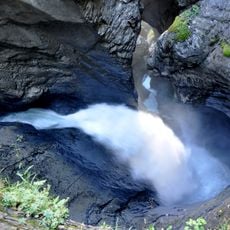
Trümmelbach Falls
4.2 km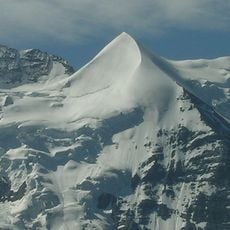
Silberhorn
6.2 km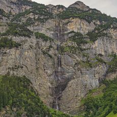
Mattenbach Falls
3.1 km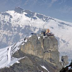
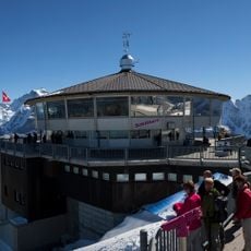
Birg
1.9 km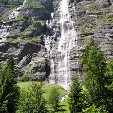
Mürrenbachfall
2.3 km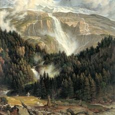
Chutes du Schmadribach
5 km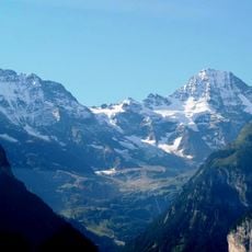
Lauterbrunnen Wall
3.9 km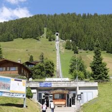
Allmendhubelbahn
2.4 km
Gspaltenhorn
5.1 km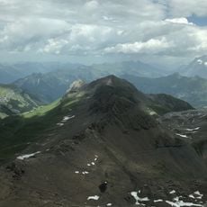
Bietenhorn
3.4 km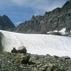
Tschingel Glacier
5.6 km
Schwarzmönch
4.3 km
Bütlasse
4.9 km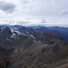
Hundshorn
4.8 km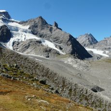
Breithorn glacier
5.8 km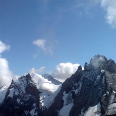
Tschingelspitz
4.6 km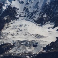
Stuefestein glacier
6.3 km
Breitlouwenengletscher
6.3 km
Silberhorngletscher
5.7 km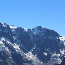
Schmadri glacier
6.1 km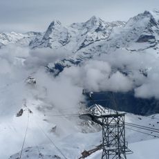
Stechelberg - Schilthorn cable car
1.9 km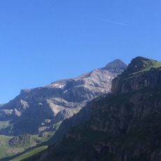
Zahm Andrist
6.3 km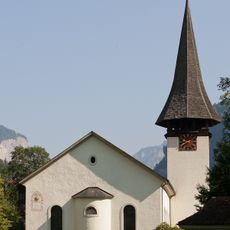
Reformed church Lauterbrunnen
5.9 km
Gimmelwald
1.8 km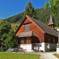
Anglican church
2.5 kmReviews
Visited this place? Tap the stars to rate it and share your experience / photos with the community! Try now! You can cancel it anytime.
Discover hidden gems everywhere you go!
From secret cafés to breathtaking viewpoints, skip the crowded tourist spots and find places that match your style. Our app makes it easy with voice search, smart filtering, route optimization, and insider tips from travelers worldwide. Download now for the complete mobile experience.

A unique approach to discovering new places❞
— Le Figaro
All the places worth exploring❞
— France Info
A tailor-made excursion in just a few clicks❞
— 20 Minutes