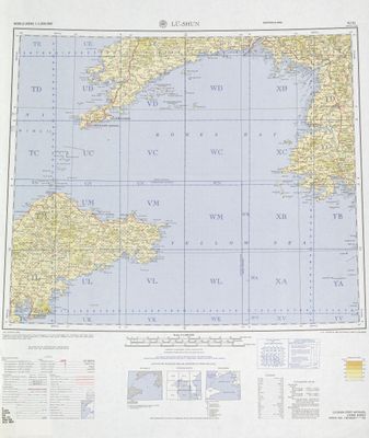
Lüshunkou District, Port district in Dalian, China
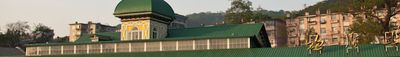
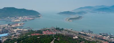
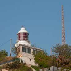
Lüshunkou District spreads over 512 square kilometers (197 square miles) at the tip of the Liaodong Peninsula, anchored by a deep natural harbor and rocky shoreline. Several university campuses and residential neighborhoods sit between forested hills and the seafront.
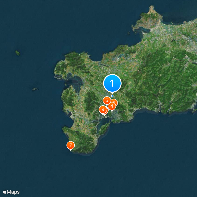
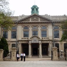
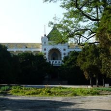
The district shifted between Chinese, Russian and Japanese control during the 19th and early 20th centuries. After World War II ended in 1945 it returned to Chinese administration and kept its military role.
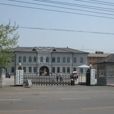
The name refers to a lion-head formation at the harbor entrance, visible from certain coastal vantage points. Today the public areas serve mostly domestic tourists and students who walk along the shore and through the older neighborhoods.
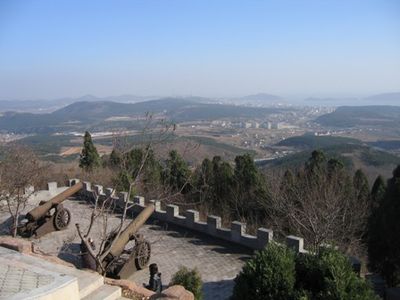
The district maintains access restrictions for foreign travelers due to its military heritage and continuing naval presence. Chinese citizens visit the accessible coastal stretches and historical sites without special permissions.
A British naval officer named William Arthur surveyed the harbor in 1860, giving rise to the English name Port Arthur. This designation remained common in Western maps until the mid-20th century.
The community of curious travelers
AroundUs brings together thousands of curated places, local tips, and hidden gems, enriched daily by 60,000 contributors worldwide.