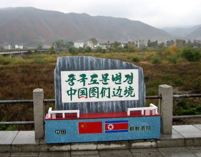
China–North Korea border, International border between Liaoning Province, China and North Pyongan Province, North Korea.
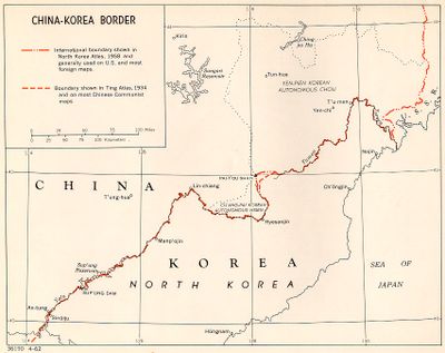
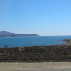
The China–North Korea border is an international line separating Liaoning Province in China from North Pyongan Province in North Korea. It runs mostly along two rivers and ends at Korea Bay in the west and at a tripoint with Russia in the east.
The modern line was established through secret treaties signed by China and North Korea in 1962 and 1964. These agreements resolved earlier uncertainties about the exact course of the division.
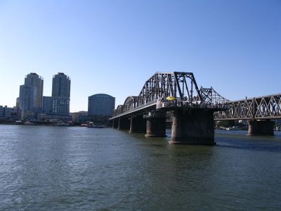
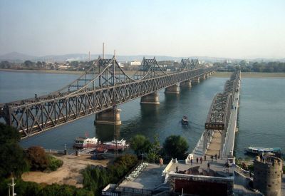
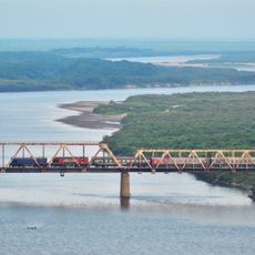
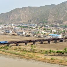
The name Yalu comes from the Manchu word for the boundary river that separates the two countries for much of its length. Visitors walking along the waterfront in Dandong can see daily life on the opposite bank, where buildings and roads run parallel to the Chinese side.
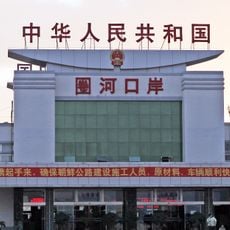
The city of Dandong serves as the main crossing point and offers viewing spots along the riverfront where travelers can see the opposite side. Access to waterfront areas is restricted in some places, so it helps to look for public promenades.
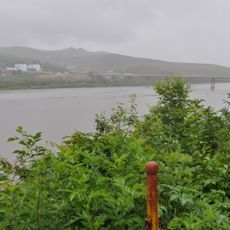
Since 2020, North Korea has built double walls and reinforced guard posts along its side that are partly visible from the Chinese bank. These installations expand the buffer zone and limit movement along the shoreline.
The community of curious travelers
AroundUs brings together thousands of curated places, local tips, and hidden gems, enriched daily by 60,000 contributors worldwide.