
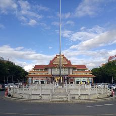
孟定农场
Location: Gengma Dai and Va Autonomous County
GPS coordinates: 23.55167,99.06527
Latest update: March 23, 2025 05:03
Ruili Port
128.3 km
Jiegao
133.3 km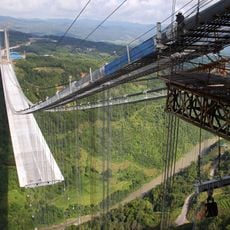
Longjiang Bridge
148.7 km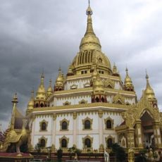
Menghuan Pagoda
108.5 km
Category:Wanding Bridge
117 km
Songshan Battlefield
133.4 km
Puti Temple, Mangshi
110.3 km
临沧市第一中学
112 km
Shweli I Dam
159.8 km
Pinglu City Ruin
134.7 km
Tiecheng Pagoda
110.2 km
Wanding Border Economic Cooperation Zone
117.7 km
Denghannong Temple
142 km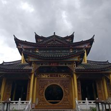
Category:Wuyun Temple, Mangshi
110.8 km
Little Hall of Mangshi
110 km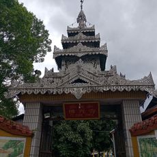
Foguang Temple, Mangshi
110.3 km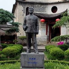
Memorial of Mr. Ai Siqi
173.1 km
Hansa-Tempel
136.4 km
Jifei Xiang
2411.6 km
中缅边民联欢大会楼旧址
117.1 km
Jinlong Temple
39.5 km
Museum of Baoshan City
172.9 km
Banlao White Pagoda
36.9 km
红岩水库
157.2 km
甘露寺貯水池
166.5 km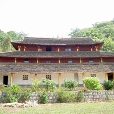
上城佛寺
145.4 km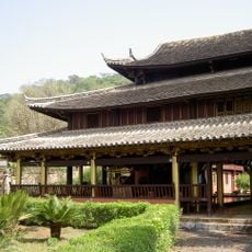
Menglian Xuanfu Residence
145.4 km
Stilwell Road Museum
169 kmReviews
Visited this place? Tap the stars to rate it and share your experience / photos with the community! Try now! You can cancel it anytime.
Discover hidden gems everywhere you go!
From secret cafés to breathtaking viewpoints, skip the crowded tourist spots and find places that match your style. Our app makes it easy with voice search, smart filtering, route optimization, and insider tips from travelers worldwide. Download now for the complete mobile experience.

A unique approach to discovering new places❞
— Le Figaro
All the places worth exploring❞
— France Info
A tailor-made excursion in just a few clicks❞
— 20 Minutes