Ruhr, River in North Rhine-Westphalia, Germany
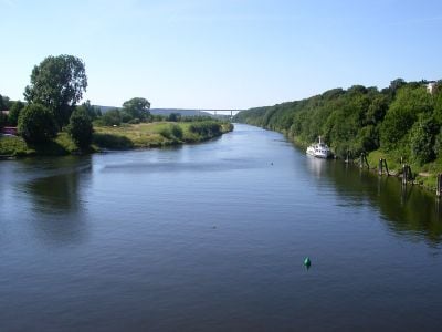
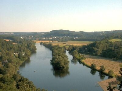
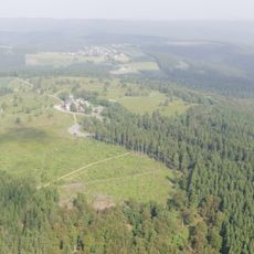
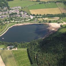
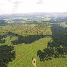
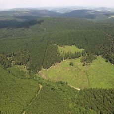
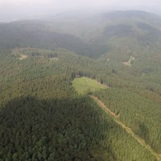
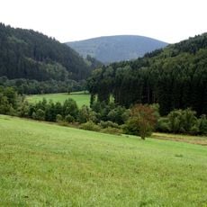
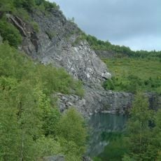
The Ruhr is a waterway in North Rhine-Westphalia that runs about 219 kilometers (136 miles) from Winterberg through former industrial cities to its confluence with the Rhine at Duisburg. Several dams interrupt its course and form lakes surrounded by wooded hills and urban shorelines.
During the Second World War, British bombers attacked several dams along the waterway to disrupt water supply and industrial production in the region. The attack took place in May 1943 and caused severe flooding downstream.
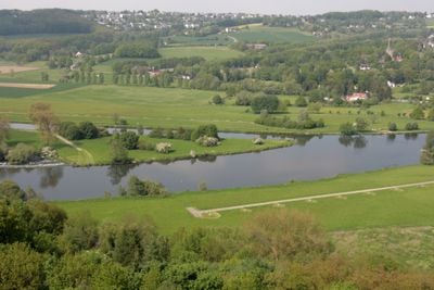
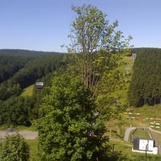
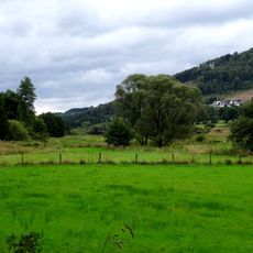
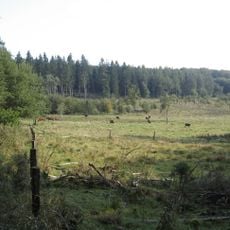
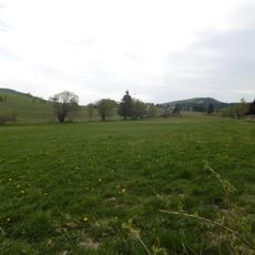
Reservoirs along the waterway have become popular spots where locals sail, row and walk beside the water on weekends and summer afternoons. The waterway passes through cities like Essen and Mülheim, where parks and riverside paths shape daily routines and offer a place for rest and leisure.
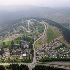
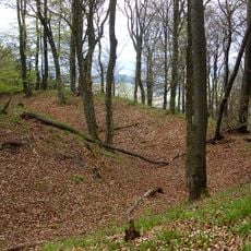
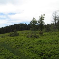
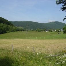
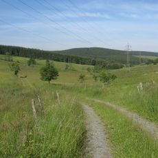
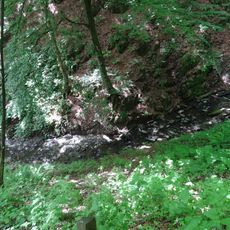
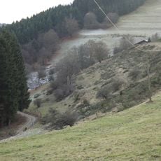
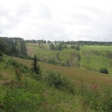
The waterway is best viewed from walking and cycling paths that follow many sections through woods or beside lakes. Some stretches are easy to reach, while others remain steeper and rougher, especially upstream near Winterberg.
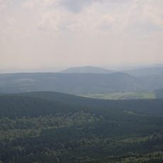
The waterway gives its name to the entire industrial region, even though it remains relatively narrow and calm and does not flow directly through the center of most major cities. Numerous tributaries such as the Lenne and the Möhne feed into it and form a branching network that once supplied coal and steel works with water.
The community of curious travelers
AroundUs brings together thousands of curated places, local tips, and hidden gems, enriched daily by 60,000 contributors worldwide.