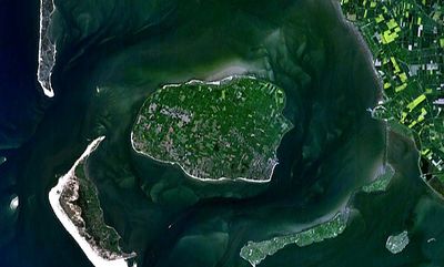
Föhr, North Sea island in Schleswig-Holstein, Germany
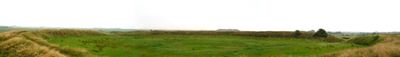
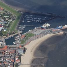
Föhr is a North Sea island in Schleswig-Holstein featuring 15 kilometers (9 miles) of sandy shore along its southern edge. The landmass covers 82 square kilometers (32 square miles) and ranks as Germany's second-largest North Sea island.
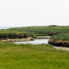
A severe storm surge in the North Sea during 1362 separated the territory from the mainland and shaped the present island form. Coastal geography underwent fundamental transformation through this event.
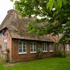
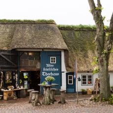
The native North Frisian tongue Fering appears on street signs and in conversations among islanders. Community gatherings during Biikebrennen on February 21st bring neighbors together around large bonfires.
Regular ferry connections from Dagebüll harbor bring visitors across the tidal flats in 50 minutes. The crossing passes through the Schleswig-Holstein Wadden Sea National Park waters.
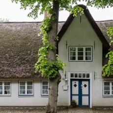
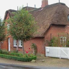
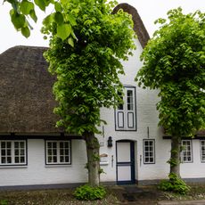
Eleven separate municipalities share the territory, with each settlement name ending in -um. The suffix comes from Old Frisian and translates to homestead or dwelling place.
The community of curious travelers
AroundUs brings together thousands of curated places, local tips, and hidden gems, enriched daily by 60,000 contributors worldwide.