Enable Location

We need your location to show you interesting places around you

Discover nearby places

Find interesting locations and hidden gems around you

Precise directions

Get accurate directions and distances to places

Your location is never shared with other users. It's only used when you tap the location button.

Oranienburg

Log in to your account

Start exploring — it's free

Trusted by 62,563 travelers worldwide

Continue with Google
Continue with Apple
or

We will send you a code to connect

By continuing, you accept our Terms and Conditions and our Privacy Policy

Check your inbox

We've sent a pincode in your inbox. Please enter the code below.

Oranienburg, District capital in Brandenburg, Germany.

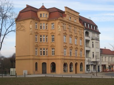
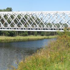
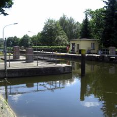
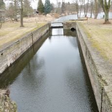
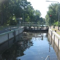
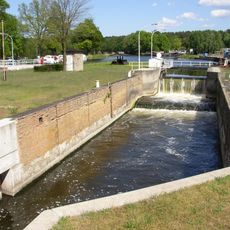
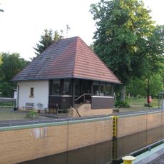
Oranienburg is the administrative center of Oberhavel District, located about 30 kilometers north of Berlin along the Havel River, and includes several neighborhoods with residential areas, parks, and industrial zones. The municipality combines denser urban development in the center with flatter, green outskirts crossed by waterways and rural paths.

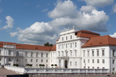
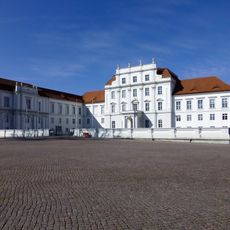
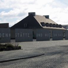
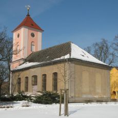
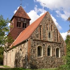
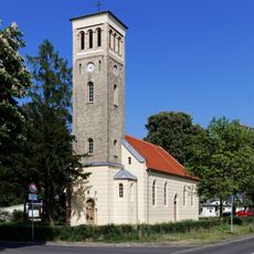
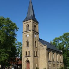
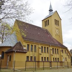
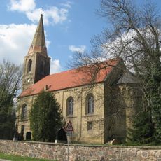
The settlement of Bötzow emerged in the 13th century and was renamed in 1646 when Louise Henriette of Orange commissioned a palace. After World War II, the town was deeply shaped by its proximity to a major camp and by war damage, before developing anew as an administrative center.

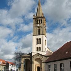
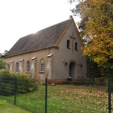
The name honors Princess Louise Henriette, who established a residence here in the 17th century, and today the town retains a quiet provincial character marked by tree-lined avenues and regional markets. In the old center, cobblestone lanes lead to smaller squares surrounded by local shops that reflect everyday life in Brandenburg.

The S1 suburban train connects the town regularly with Berlin and runs at short intervals during the day. Visitors on foot will find well-marked pedestrian routes in the center, while bicycle paths along the Havel help with orientation.

After heavy bombing in World War II, numerous unexploded bombs remain buried underground, prompting expert teams to conduct regular search operations. These efforts occasionally lead to temporary street closures until the findings are secured and removed.

The community of curious travelers

AroundUs brings together thousands of curated places, local tips, and hidden gems, enriched daily by 60,000 contributors worldwide.

Start exploring
Elevation above the sea
34 m
Shares border with
Hohen Neuendorf, Mühlenbecker Land, Oberkrämer, Velten, Birkenwerder, Löwenberger Land, Liebenwalde, Leegebruch
GPS coordinates
52.75444,13.23694
Latest update
December 13, 2025 15:47
« Oranienburg - District capital in Brandenburg, Germany » is provided by Around Us (aroundus.com). Images and texts are derived from Wikimedia project under a Creative Commons license. You are allowed to copy, distribute, and modify copies of this page, under the conditions set by the license, as long as this note is clearly visible.

Discover hidden gems everywhere you go!

From secret cafés to breathtaking viewpoints, skip the crowded tourist spots and find places that match your style. Our app makes it easy with voice search, smart filtering, route optimization, and insider tips from travelers worldwide. Download now for the complete mobile experience.

Around Us App Screenshot

A unique approach to discovering new places

Le Figaro

All the places worth exploring

France Info

A tailor-made excursion in just a few clicks

20 Minutes

Around Us
Travel Guide & Maps
Download

Send to your phone

QR Code
1

Open the camera app on your mobile.

2

Point at the QR code with your camera. A notification will appear.

3

Tap the notification to open the link.