Enable Location

We need your location to show you interesting places around you

Discover nearby places

Find interesting locations and hidden gems around you

Precise directions

Get accurate directions and distances to places

Your location is never shared with other users. It's only used when you tap the location button.

Kamp-Lintfort

Log in to your account

Start exploring — it's free

Trusted by 62,258 travelers worldwide

Continue with Google
Continue with Apple
or

We will send you a code to connect

By continuing, you accept our Terms and Conditions and our Privacy Policy

Check your inbox

We've sent a pincode in your inbox. Please enter the code below.

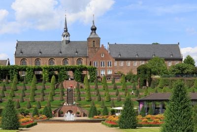
Kamp-Lintfort, Urban municipality in North Rhine-Westphalia, Germany

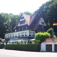
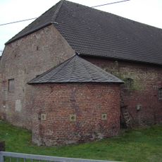
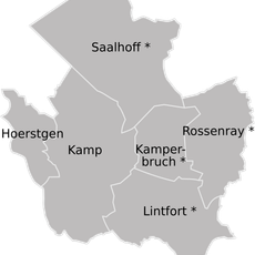
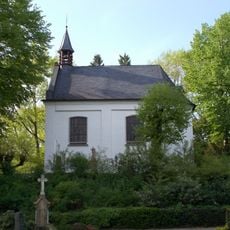
Kamp-Lintfort is a town in the Wesel district of North Rhine-Westphalia, divided into six neighborhoods: Dachsbruch, Hoerstgen, Kamperbrück, Lintfort, Saalhoff, and Wickrath. The town sits in flat countryside between the Lower Rhine and the Ruhr region.

The town grew from several villages and expanded during the 20th century through coal mining, which drew thousands of workers to the area. After the Friedrich Heinrich mine closed in 2012, the former industrial grounds were turned into education and cultural spaces.

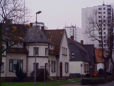
The mining colony Friedrich Heinrich Estate displays rows of workers' houses built around 1910, each with a small garden where families grew vegetables to supplement their income. The narrow brick buildings stand close together, reflecting the tight-knit community that formed when thousands worked underground nearby.

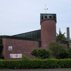
The Panorama-Bad complex offers indoor and outdoor pools, sports fields, and beach volleyball courts for families and swimmers. The town's flat layout makes it easy to walk or cycle around most neighborhoods.

A university campus opened on the former mine grounds in 2014, offering degrees in applied computing and logistics. The library sits inside a converted mine building where steel beams from the industrial era remain visible overhead.

The community of curious travelers

AroundUs brings together thousands of curated places, local tips, and hidden gems, enriched daily by 60,000 contributors worldwide.

Start exploring
Location
Elevation above the sea
26 m
Shares border with
Neukirchen-Vluyn, Moers
GPS coordinates
51.50000,6.53333
Latest update
December 13, 2025 19:39
« Kamp-Lintfort - Urban municipality in North Rhine-Westphalia, Germany » is provided by Around Us (aroundus.com). Images and texts are derived from Wikimedia project under a Creative Commons license. You are allowed to copy, distribute, and modify copies of this page, under the conditions set by the license, as long as this note is clearly visible.

Discover hidden gems everywhere you go!

From secret cafés to breathtaking viewpoints, skip the crowded tourist spots and find places that match your style. Our app makes it easy with voice search, smart filtering, route optimization, and insider tips from travelers worldwide. Download now for the complete mobile experience.

Around Us App Screenshot

A unique approach to discovering new places

Le Figaro

All the places worth exploring

France Info

A tailor-made excursion in just a few clicks

20 Minutes

Around Us
Travel Guide & Maps
Download

Send to your phone

QR Code
1

Open the camera app on your mobile.

2

Point at the QR code with your camera. A notification will appear.

3

Tap the notification to open the link.